Skip to content
@opengeos

Open Geospatial Solutions

A collection of open-source software packages for the geospatial community

opengeos_banner

The Open Geospatial Solutions (opengeos) GitHub organization hosts a collection of open-source geospatial software projects. The projects are developed by a community of geospatial software developers and researchers. The projects are maintained by the community and are free to use and modify. The projects are open-source and are licensed under the MIT license. If you are interested in hosting an open-source project with us, please submit a request on the Discussion Board. We always welcome new contributors and collaborators.

Join our Discord server 👇
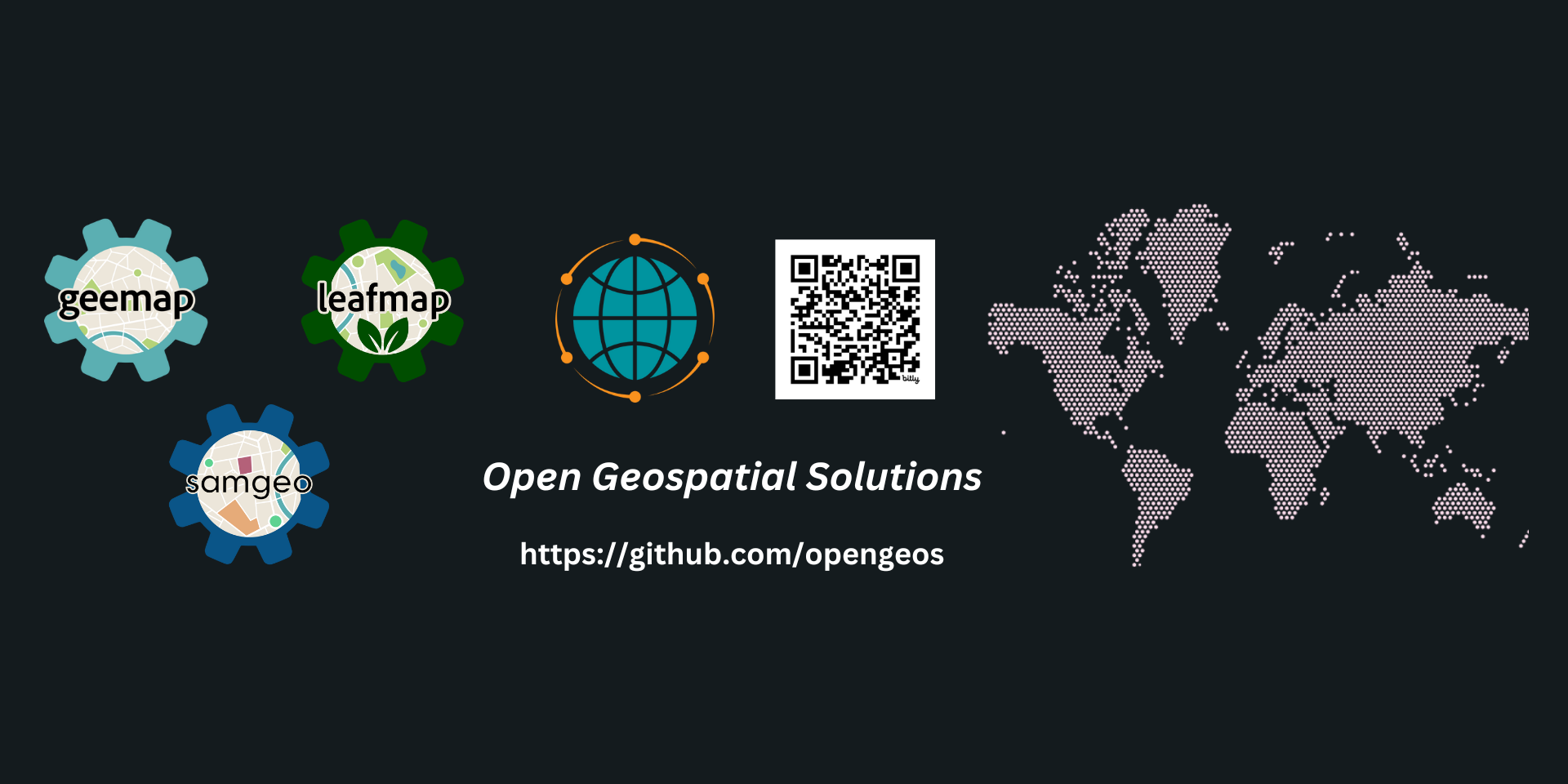
Python Packages

Data Catalogs

R Packages

ArcGIS Toolboxes

Web Apps

Useful Resources

Acknowledgements

Some of the projects hosted by the Open Geospatial Solutions organization are supported by Amazon Web Services (AWS).

Popular repositories Loading

  1. leafmap leafmap Public

    A Python package for interactive mapping and geospatial analysis with minimal coding in a Jupyter environment

    Python 3.3k 406

  2. segment-geospatial segment-geospatial Public

    A Python package for segmenting geospatial data with the Segment Anything Model (SAM)

    Python 3.2k 332

  3. Awesome-GEE Awesome-GEE Public

    A curated list of Google Earth Engine resources

    1k 206

  4. streamlit-geospatial streamlit-geospatial Public

    A multi-page streamlit app for geospatial

    Python 922 411

  5. python-geospatial python-geospatial Public

    A collection of Python packages for geospatial analysis with binder-ready notebook examples

    Shell 776 127

  6. geoai geoai Public

    GeoAI: Artificial Intelligence for Geospatial Data

    Python 652 67

Repositories

Showing 10 of 62 repositories
  • HTML 2 MIT 1 0 0 Updated Mar 21, 2025
  • geoai Public

    GeoAI: Artificial Intelligence for Geospatial Data

    Python 652 MIT 67 8 0 Updated Mar 21, 2025
  • geospatial-data-catalogs Public

    A list of open geospatial datasets available on AWS, Earth Engine, Planetary Computer, NASA CMR, and STAC Index

    Jupyter Notebook 555 MIT 45 0 1 Updated Mar 21, 2025
  • NASA-CMR-STAC Public

    A list of geospatial datasets on NASA's Common Metadata Repository (CMR)

    Jupyter Notebook 22 MIT 4 0 0 Updated Mar 21, 2025
  • Earth-Engine-Catalog Public

    The Google Earth Engine data catalog in CSV format

    Python 25 MIT 4 0 1 Updated Mar 21, 2025
  • ee-tile-layers Public

    Generate Earth Eninge tile layer URL to be used by leafmap

    Python 6 MIT 1 0 0 Updated Mar 21, 2025
  • NASA-Earth-Data Public

    A comprehensive list of NASA Earth science data products

    Jupyter Notebook 137 MIT 15 0 1 Updated Mar 21, 2025
  • segment-geospatial Public

    A Python package for segmenting geospatial data with the Segment Anything Model (SAM)

    Python 3,216 MIT 332 31 (4 issues need help) 3 Updated Mar 20, 2025
  • aws-open-data Public

    A list of open datasets on AWS

    Python 40 MIT 7 0 1 Updated Mar 20, 2025
  • aws-open-data-geo Public

    A list of open geospatial datasets on AWS

    Python 285 MIT 8 1 0 Updated Mar 20, 2025