st_crop and st_intersection do not cut decimal degrees assuming planar cartesian coordinates #1780
Comments
|
On the globe, there are no straight lines. Since sf 1.0-0, "lines" between points for ellipsoidal (geographic) coordinates are great circle distances, not straight lines in Plate Carree. You can set |
|
Thanks for the clarification. Flat Earth was indeed practical when trying to break things into regions but an old dog can learn new tricks. |
|
This is an interesting problem; I feel that there may be an issue with the plot part of the linked question. Consider this code: the red polygon is taken from the SO question, and when plotted looks square (i.e. Plate Caree). Of the two cities - Being and Hanoi, sorry for not hardcoding the coordinates - one appears inside and the other outside of the polygon. But when I run |

library(sf)
library(dplyr)
library(spData)

red_polygon <- matrix(c(60, 0, 179.9, 0, 179.9, 30, 60, 30, 60, 0), byrow = TRUE, ncol = 2) %>%
  list() %>%
  st_polygon() %>%
  st_sfc() %>%
  st_set_crs(4326) %>%
  st_segmentize(units::set_units(1, degree))

cities <- tidygeocoder::geo(c("Bejing, China", "Hanoi, Vietnam")) %>%
  st_as_sf(coords = c("long", "lat"), crs = 4326)

plot(st_geometry(world), xlim = c(60,180), ylim = c(0, 60))
plot(red_polygon, add = T, border = "red")
plot(st_geometry(cities), add = T, col = "blue", pch = 4)
|

|
Exactly, and the question kind of morphs from an unexpectedly looking intersection to "how does a polygon specified by four points on a sphere look on a map" (having the bottom section sat on the equator spoils half of the fun). |
|
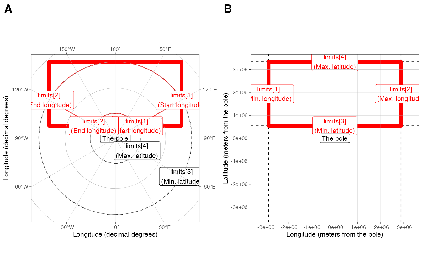
I feel that Caption for the figure can be found from here. |
|
For plotting, orthographic projections seem to work better for smaller areas, but also not really for an area this size (although the red one includes the points): library(sf)
library(dplyr)
library(spData)
red_polygon <- matrix(c(60, 0, 179.9, 0, 179.9, 30, 60, 30, 60, 0), byrow = TRUE, ncol = 2) %>%
list() %>%
st_polygon() %>%
st_sfc() %>%
st_set_crs(4326)
cities <- tidygeocoder::geo(c("Bejing, China", "Hanoi, Vietnam")) %>%
st_as_sf(coords = c("long", "lat"), crs = 4326)
png("x.png")
crs = st_crs("+proj=ortho +lon_0=120 +lat_0=30")
plot(st_geometry(st_transform(world, crs)))
plot(st_transform(red_polygon, crs), add = T, border = "red")
plot(st_geometry(st_transform(cities, crs)), add = T, col = "blue", pch = 4)
plot(st_transform(st_segmentize(red_polygon, units::set_units(1, degree)), crs), add = T, border = 'green')
|

|
Yet another reason to have a cesium port for R |
|
Should this issue be closed or left open? I have a few suggestions on how to address it:
|
Apologies for opening a new issue. Please close if already solved.
I thought this was a feature of
sfand therefore made an SO question: https://stackoverflow.com/questions/69027136/how-to-crop-non-projected-epgs4326-polygons-along-straight-linesAfter studying the behavior more carefully, perhaps this is, at least, an unwanted feature?
Run using the CRAN version of
sf1.0-2. and R version 4.1.1 (2021-08-10); Platform: x86_64-apple-darwin17.0 (64-bit); Running under: macOS Big Sur 10.16The text was updated successfully, but these errors were encountered: