This repository contains my journey using a publicly-accessible set on bike-sharing information to create a data visualization. The purpose of this project is an entry into the 2015 Pronto Data Challenge, which is described in detail at http://www.prontocycleshare.com/datachallenge.
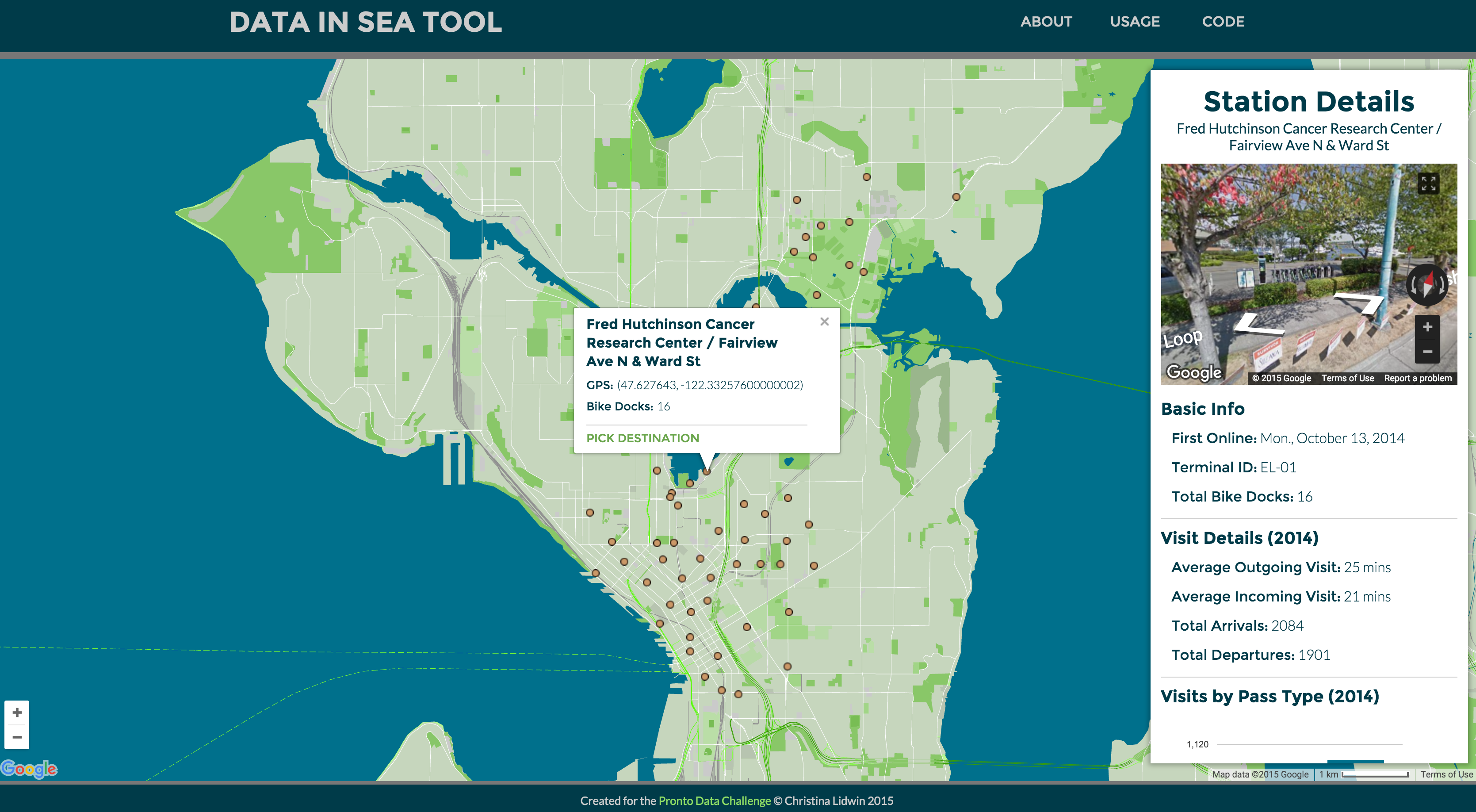
###Project Summary Data in SEA Tool is a map-based interaction portal to explore information about Pronto bicycles and how people use them to travel in the Seattle area. Using publicly-available data from 2014, this interface provides opportunities to visualize and understand station information, travel times, and routes used by Pronto pass holders. Clicking on an individual station reveals information about the particular set of Pronto bike racks and a general sense of how people use the station. Alternatively, selecting a pair of stations reveals information about how Pronto riders travel throughout the city.
###Screenshot
##Sources This project uses the following open source resources. Links redirect to the original content creators:
- Google Maps Javascript API provides the foundation for many of the visual elements and the element/travel-time data pieces
- Google Maps Markers is the original source of the markers used to denote the station locations
- Pronto Data Challenge provided the .csv data files.