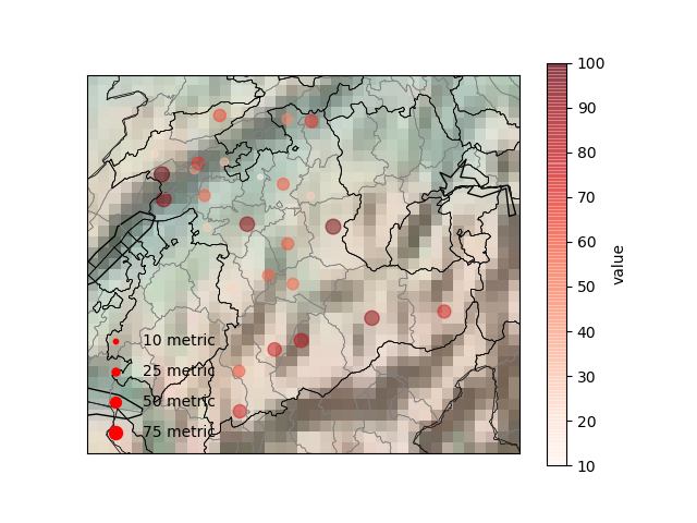
Data visualisation on a map appeals to the eye. Here is one way in which you can do it.
Step 1: Set working directory on line 6 of main.py
Step 2: Replace the values column in AmtsBezirke_Bern.csv with the parameter values that you want
Step 3: [Optional but recommended] Replace the label name of the parameter name on line 35 of main.py
Step 4: [Optional but recommended] Replace the metric and measurements on line 39 of main.py
Step 1: Find the bounding box representing the region/country you wanted to cover here. Use option "csv". Use these parameters to set the map object on line 9. BoundingBox
Step 2: View the docs of basemap and matplotlib for tuning the parameters matplotlib basemap
Step 3: Find Shapefiles for the country or region desired. Here I used the following link for Switzerland opendata.swiss
Step 4: If you do not have latitudes and longitudes, you may use gpsvisualizer and mapquest for geo coding the regions gpsvisualizer mapquest Save the geocoded file with parameter values as desired. Update file read information on line 25 of main.py
Step 5: Follow the steps mentioned in How to use this code