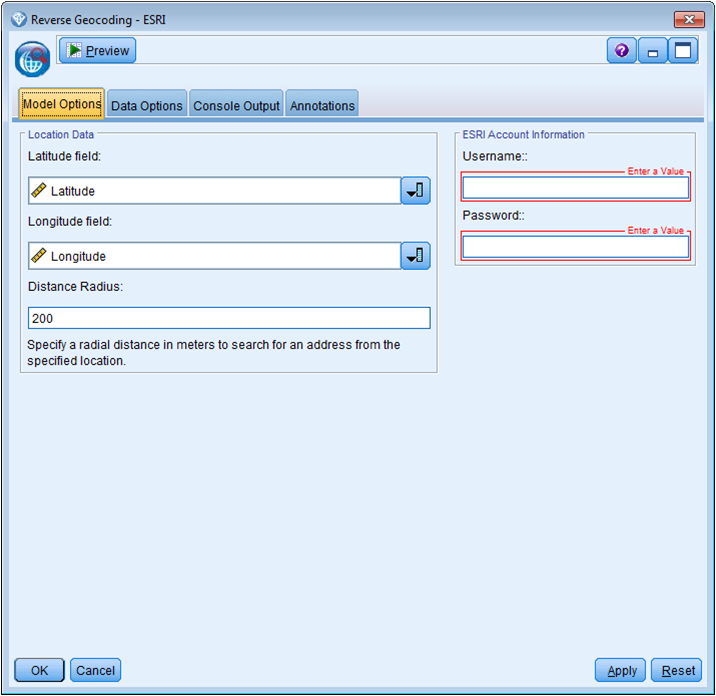
This node allows you to obtain address data from a latitude and longitude using ESRI's reverse geocoding service.
- IBM SPSS Modeler v16 or later
- ‘R Essentials for SPSS Modeler’ plugin: Download here
- R 2.15.x or R 3.1
- Download the extension: Download
- Close IBM SPSS Modeler. Save the .cfe file in the CDB directory, located by default on Windows in "C:\ProgramData\IBM\SPSS\Modeler\16\CDB" or under your IBM SPSS Modeler installation directory.
- Restart IBM SPSS Modeler, the node will now appear in the Field Ops palette.
The R packages will be installed the first time the node is used as long as an Internet connection is available.
- Armand Ruiz (armand_ruiz)