Put the Antaeus.py into the PublicMaps directory of your Civilization IV intallation.
Each grid has the same distribution, ending in ultimately chaotic map.
This mode began as a learning exercise, but it was deemed interesting enough to be kept.
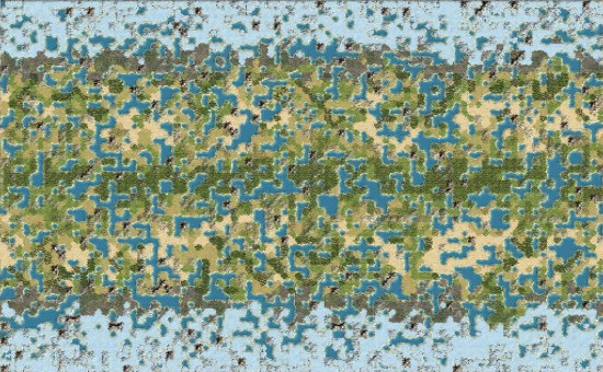
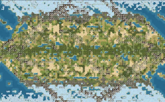
Fractal-flame-based map generation. The resulting map is unpredictable, and tends to have long mountain ranges, island chains and lake chains (for canal lovers).
Map is guaranteed to be connected. That is, every two grid are connected by a path without mountains.
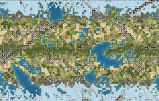
Draw “rivers” consisting of water tiles. Navy is probably necessary, but it is not going to dominate your game, since even if the land is not connected, adjacent continents are close to each other.
Draws water, hills and mountains in broad strokes. Will probably contain one cluster of mountains and one big ocean, but the distribution and shape unpredictable.
Default water level and climate options are supported.
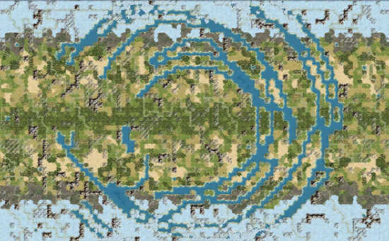
Maps can be generated in various symmetry types. The symmetry will be approximate, as is necessary for the more unusual types of symmetry (how can you get an “accurate” 3-way rotational symmetry?). It does not affect starting location placement either.
Multiple climate modes are provided.