P0: Oddly drawn polygons #79
Comments
|
I'm seeing the same issue, although on a more massive scale :-)
I also used the kepler.gl Website. Uploaded the data as a CSV, with a geometry column containing WKT. To keep things small, I've pasted a CSV with a single example (shown below) in this gist. If it's helpful, I'm happy to share the full CSV. Just let me know!
|

|
This should be fixed once we upgrade to deck.gl v5 |
|
@heshan0131 I have noticed this too with some geojson files. Is this because of the polygon winding order, or something else? I tried running https://github.com/mapbox/geojson-rewind to fix a file, but still get the same rendering problem. btw thanks for confirming a fix is coming in deck.gl 5 👍 |
|
Indeed. Fixed with latest version of deck.gl. You can close this issue. |
|
Fixed with deck.gl v5. |
…er-layer

[PREC-94] add wmts layers to simulations
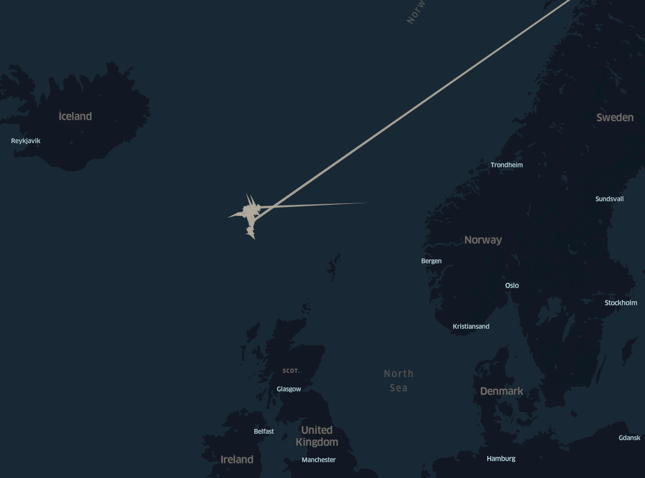
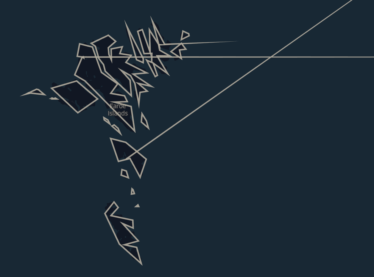
There are at least three oddly drawn polygons (US counties) in the image below: one in Alaska and two in the contiguous 48 states. This was produced with the kepler.gl website.
The was geojson file was originally an sf object stored in a .RData file (R language) - subsequently converted to geojson.
I attempted to replicate this problem with the geojson file in D3 v4 (seen here), but it did not produce the same oddly drawn polygons.
I have the geojson file, kepler config file, and D3 attempt contained within this gist.
The text was updated successfully, but these errors were encountered: