Add support for netCDF vector format #24888
Labels
Comments
|
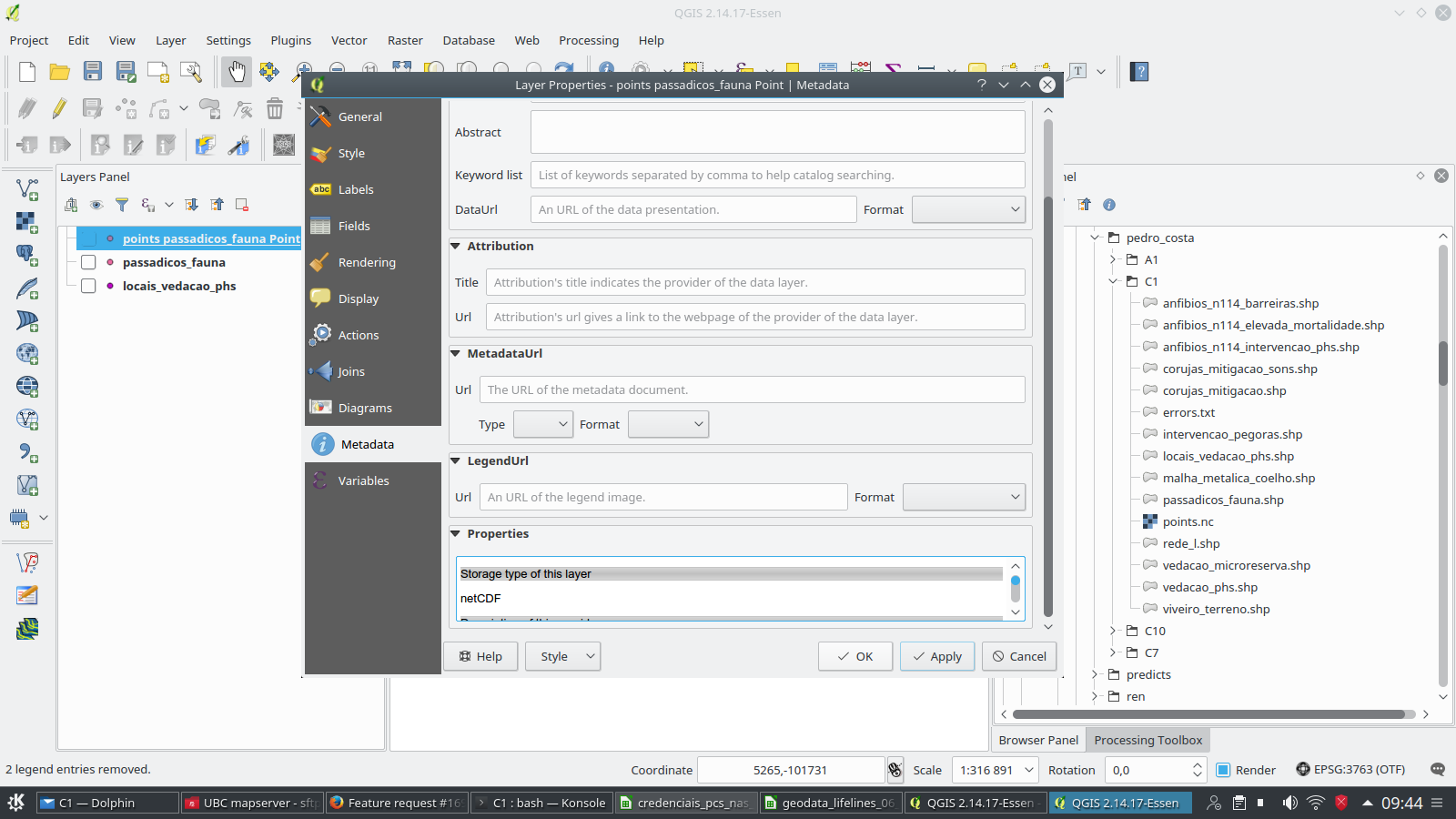
Author Name: Giovanni Manghi (@gioman) If you have a QGIS copy compiled with the proper GDAL version then it just works. See attached image. The problem I see is that the browsers "sees" that files as rasters layers, and loading from there it will fail. Would you mind opening a new ticket about that? thanks.
|
|
Author Name: Andre Joost (Andre Joost) I searched the datatype in the "Add vector Layer" dropdown list, and did not find it there. With "All files" it seems to work as vector layer. |
Sign up for free
to join this conversation on GitHub.
Already have an account?
Sign in to comment
Author Name: Andre Joost (Andre Joost)
Original Redmine Issue: 16989
Redmine category:data_provider/ogr
According to http://www.gdal.org/frmt_netcdf_vector.html GDAL 2.1 and later is now able to read and write netCDF vector data.
At least @ogr2ogr -f netcdf points.nc points.vrt@ works for me on a given VRT file, and @ogrinfo -al points.nc@ can read the output correctly.
It would be nice if that format could be added to the list of available formats in QGIS 3.x
The text was updated successfully, but these errors were encountered: