Opening WFS in QGIS 3.2.2 #27527
Comments
|
Author Name: Nyall Dawson (@nyalldawson) Works ok for me, if I turn off the "Only request features overlapping the view extent" option. Can you confirm?
|
|
Author Name: Robert Richardson (Robert Richardson) Hi Nyall
|
|
Author Name: Robert Richardson (Robert Richardson) Hi Nyall
|
|
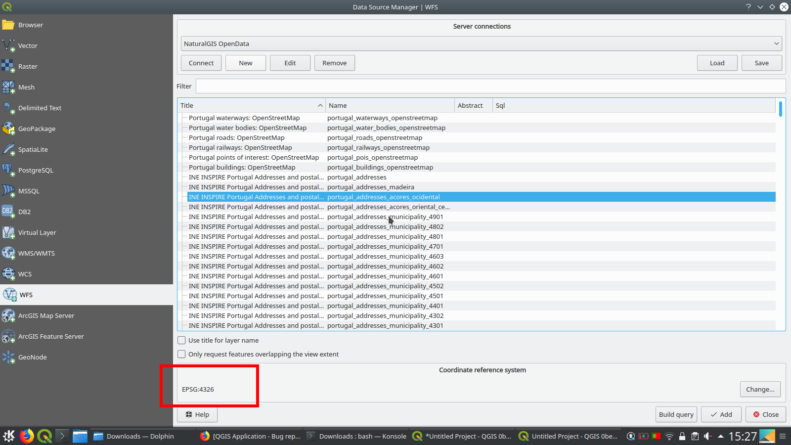
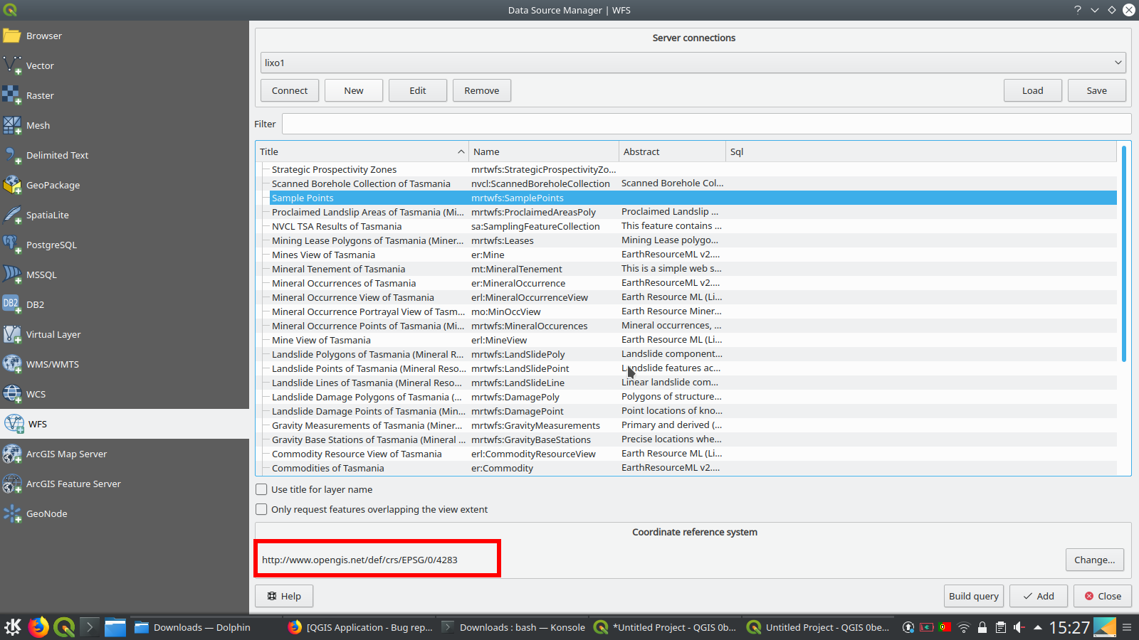
Author Name: Giovanni Manghi (@gioman) Robert Richardson wrote:
see attached images: there is something fishy (in the server configuration) about how the layers CRS's are advertised. Compare to how other services look like (in QGIS).
|
|
Author Name: Robert Richardson (Robert Richardson) I've successfully contacted the WFS provider (mrt.tas.gov.au) who had previously found a workaround for QGIS after other users had this same problem - the WFS version must be set to 1.0 not Auto. The same problem appears to apply to just about all the WFS servers for the Australian Geological Organisations listed here: http://www.geoscience.gov.au/web-services. I've been retired for about 6 years but it is possible that all these organisations are running versions of GeoServer that include support for GeoSciML. A quick test showed that these services were OK with Gaia 3 but this appears to default to WFS version 1.0. |
|
Author Name: Giovanni Manghi (@gioman) Robert Richardson wrote:
forcing the connection to 1.0 and the layers CRS's show as expected and layers are loaded. |
|
Author Name: Jürgen Fischer (@jef-n) Bulk closing 82 tickets in feedback state for more than 90 days affecting an old version. Feel free to reopen if it still applies to a current version and you have more information that clarify the issue.
|
Author Name: Robert Richardson (Robert Richardson)
Original Redmine Issue: 19702
Affected QGIS version: 3.2.2
Redmine category:web_services_clients/wfs
Layers from WFS server http://www.mrt.tas.gov.au/web-services/wfs can each be opened OK in QGIS 2.18.14 but in QGIS 3.2.2 give errors and do not open.
The text was updated successfully, but these errors were encountered: