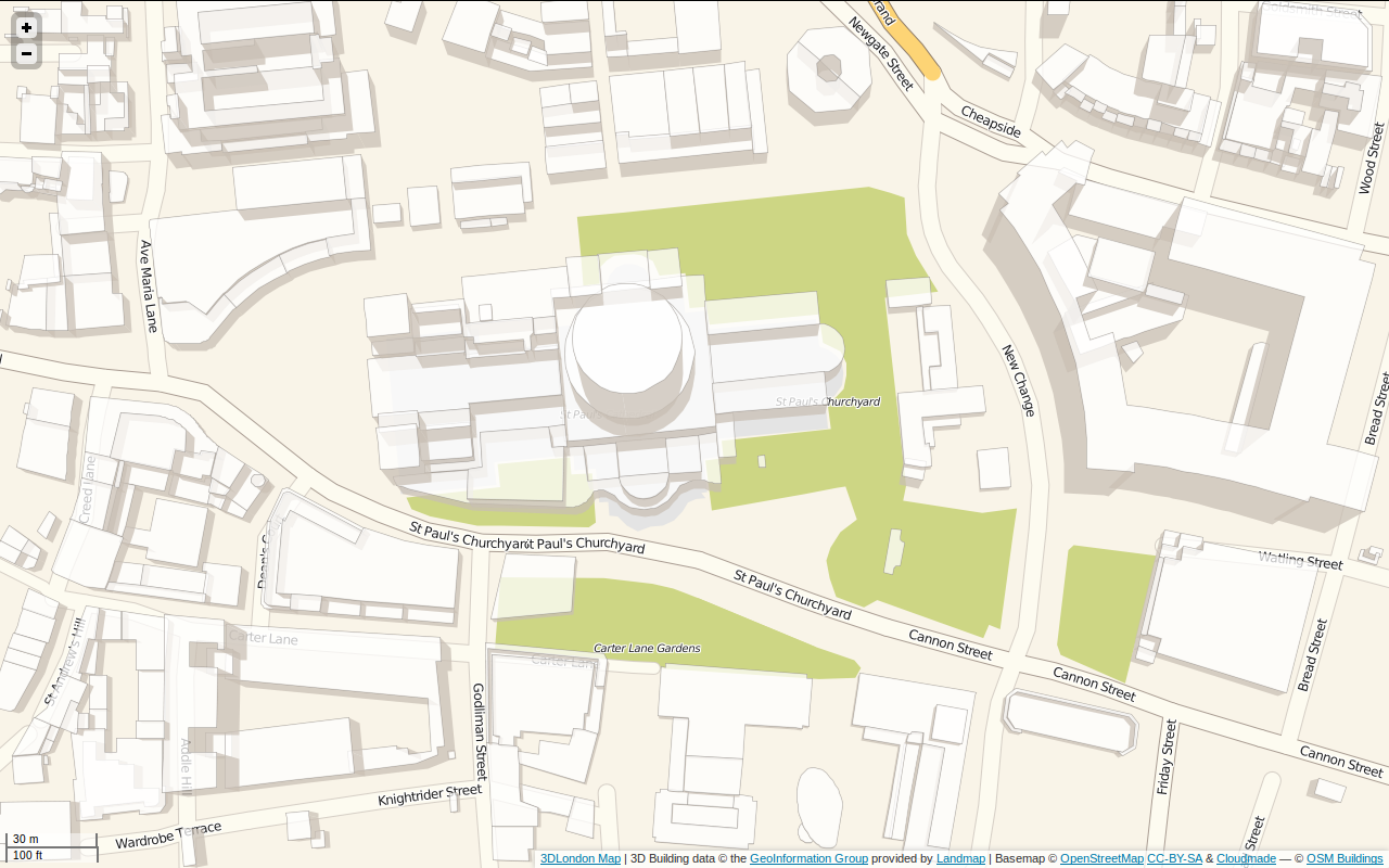
PostGIS/Python CGI and JavaScript functions to generate map of 3D buildings in London from UKMap data using LeafletJS and OSM Buildings.
- map.htm: HTML/JavaScript Leaflet and OSMBuildings front end, adds buildings in GeoJSON format which are within map bounding box.
- get_geojson.py: Simple CGI script to return GeoJSON of buildings from PostGIS within specified bounding box.
- Blog post: http://tomholderness.wordpress.com/2012/12/12/3DLondon/