This Python program will generate a timelapse of a Google Streetview drive between two destinations. It is like being in the driver seat of a Google Streetview car. It can also focus on a given place by given it it's coordinates and height. It is currently multithreaded, as it makes it faster to fetch the images from the API. You can give the location in any format that the Google Directions API will be able to accept.
- Python >=3.6.2
- NumPy
- OpenCV
- Polyline
Simple Drive Between Two Locations:
Input Origin: San Diego
Input Destination: Los Angeles
Look around an object? Type True or False: False
Generating a drive time-lapse
Please type in name of file:
sandiegotolosangeles
Where do you want to save this file?:
D:\Video Output
...
Worker Completion Percentages
...
Video Generated Successfully at D:\Video Output\sandiegotolosangeles.mp4
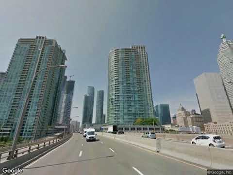
Sample Drive Focusing on an Object:
Input Origin: 43.638891, -79.456817
Input Destination: 43.683613, -79.361742
Look around an object? Type True or False: True
Give object coordinate:43.642391, -79.387015
Give object height in km:0.55
Name of File:
cntower
Where do you want to save this file?:
D:\Video Output
  ...
Worker Completion Percentages
...
Video Generated Successfully at D:\Video Output\cntower.mp4