View live demo: http://geodesygina.com/BreathingEarth/index.html
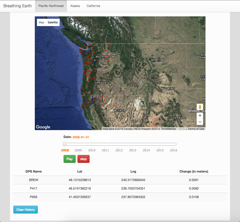
Breathing Earth is an open-source visualization of how ground height changes over time.
We use high precision GPS vertical position estimates to visualize changes in ground height due to precipitation, earthquakes, tectonics, glacial melt, as well as human induced water/oil and gas pumping. Stay tuned for a complete write up of this project at geodesygina.com.
Take a look, visit our site and enjoy!
-The Breathing Earth Team
To get started with Breathing Earth, you can simply download this repo and run with python:
cd breathing_earth_app
python BreathingEarth.py
Breathing Earth has been tested and is compatible with Python 2.7
You will need to get a google maps API key if you don't have one and add it into the bottom of index.html
You can obtain one by going here: https://console.developers.google.com/