
A copylefted libre software car-navigation system with its own routing engine.
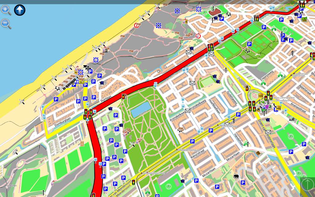
On an Android tablet
On a Linux-based carputer

Modular design with routing and rendering of one or more vector maps in various formats.
GTK and SDL user-interfaces with touch-screen displays.
Current vehicle position from gpsd or directly from NMEA (GPS) sensors.
Optimal routes and directions spoken in 70+ languages.
Points of interest (POIs) in many formats.
Help and more info available on the wiki.
The Reporting Bugs document helps you file issues.
OpenStreetMap — display, routing, incomplete street-name search.
Grosser Reiseplaner and compliant maps — full support.
Garmin maps —display, routing, search is being worked on.
Current vehicle position from
— a file or port.
— gpsd (local or remote).
— the location service of several mobile platforms.
— a UDP server (friends tracking) (experimental).
The Hosted Weblate platform is used to manage translations, which runs Weblate.

Uses LPA* starting at the destination by assigning
a value to each point directly connected to the destination point.
It represents estimated time needed to reach the destination from that point.
A Fibonacci-heap search for the point with the lowest value (to find
a value then assigned to connected points either unevaluated or whose
current value is greater than the new one) is repeated until the origin is found.
Once reaching the origin, the lowest-value points are followed to the destination.
the (experimental) traffic module re-evaluates route-graph portions as segment costs change.
It can process traffic reports and find a way around problems.