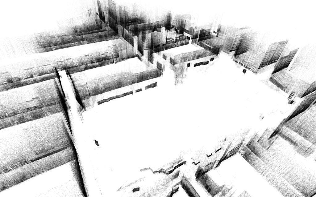
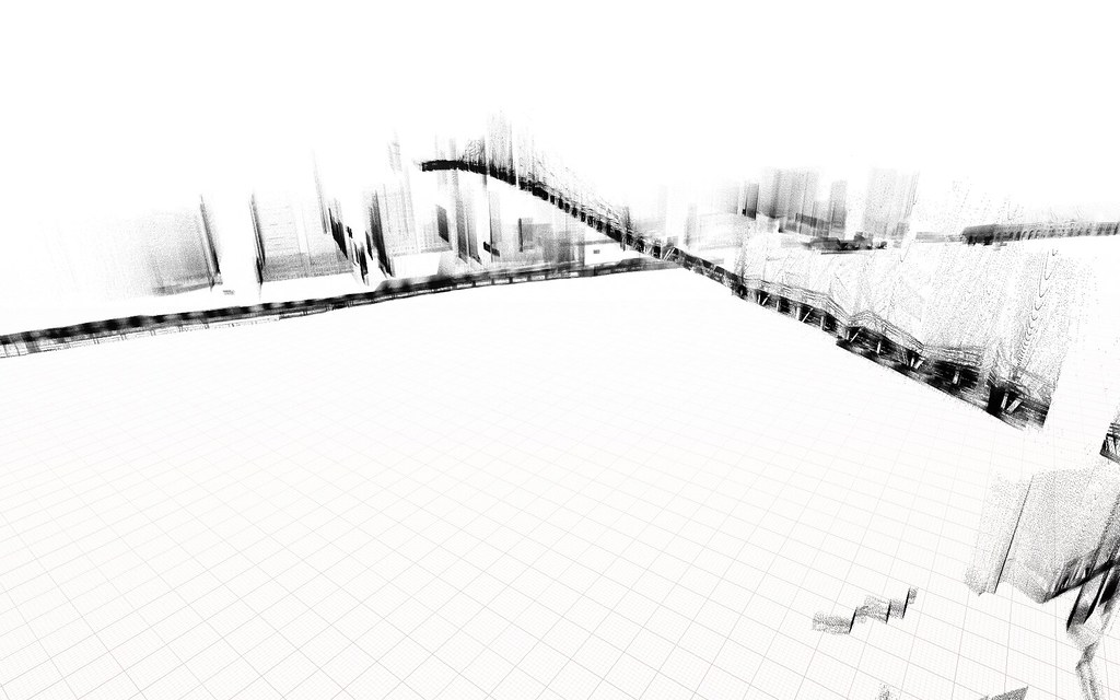
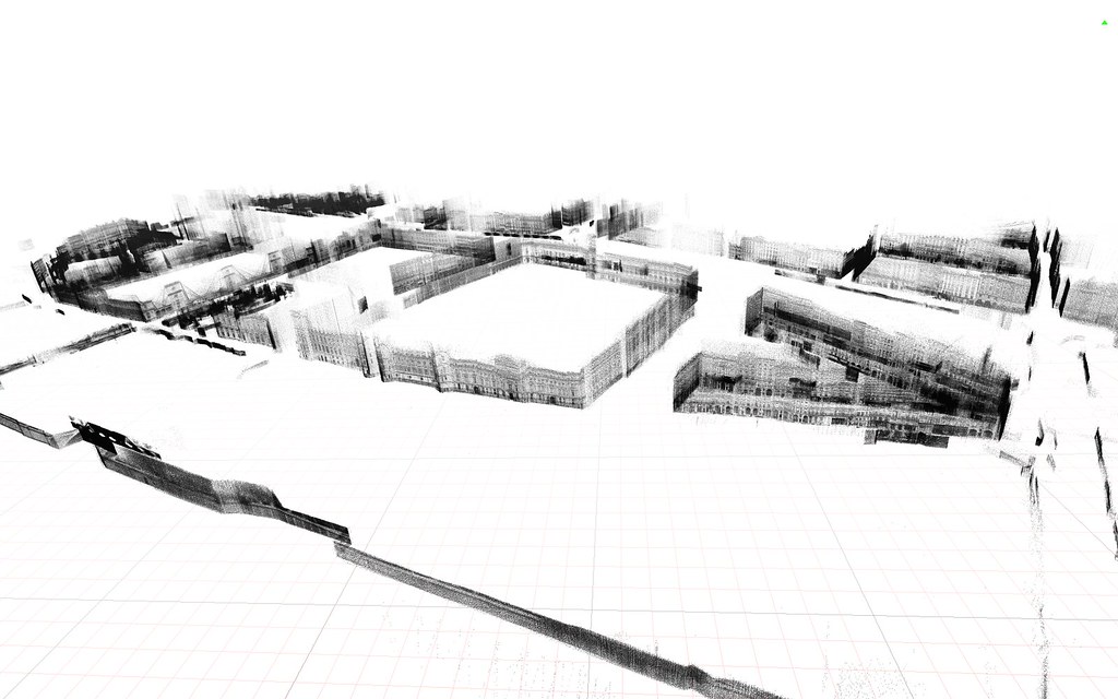
Trying to improve the stitching between panoramic views for my SKYLINES II project I came across some encrypted depth information inside Google Street View database. This become popularized by the short video PointCloudCity and later become SKYLINE III, a series of postcards revealing the invisible information of a city that is otherwise trapped inside corporate databases, freeing private information collected from public spaces.
By doing the call:
http://cbk0.google.com/cbk?output=xml&panoid=[pano_id]&dm=1
We get information that looks like this
At you can seee a depth image encoded in base64 (and zlib compressed)
This addon will construct the panoramic image (that you can get with getTextureReference() ) and then construct a 3D Mesh using the DepthMap information.