[Bug] r.watershed fails on WIN10 with g_spawn: unable to execute command #1579
Comments
|
What is the output of g.region -p? |
g.region -p |
Thanks! I search ''g_spawn: unable to execute command.'' in Google, but nobody encounters this issues. Sadly:( I install GRASS 7.9 (ver 125) via OSGEO. GRASS 7.8.5 is still unworkable for r.watershed. Additionally, I also install the anaconda. |
|
does this command work for you outside of a python script with the computational region you've posted above? |
I run it directly in GRASS's console: Still the same error. Thus, I think there may be some bug in spawn progress. But I don't know how to settle it. How do I output more detail error log information? |
I think there may be some matter (confliction) about 'spawn' in GIS LIB. I just install from OSGEO
|
try following steps
|
Thanks for your help! Here is the debug information about Does something wrong about Need locate virtual memory in My win10? I have 32G DDR4 RAM. g.region raster=DEM@PERMANENT
g.gisenv set='DEBUG=3'
r.watershed --o --q -abs elevation=DEM@PERMANENT hbasin=slu_r thresh=1169 |
|
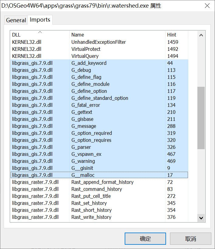
It looks like an integer/buffer overflow. Could you share the DEM? |
|
Could @wjcper2008 try derive basins in the basic NC location please?
|
|
Could @wjcper2008 give DEM@PERMANENT metadata info (execute command |
This is my DEM file Thanks for your kindly help! @tmszi @hellik I install Also try in GRASS 7.8.5 and QGIS with I try the Thus, I think there may be some confliction about |
|
I was successfull with deriving basin (NC location) with GRASS GIS 7.8.5 (OSGeo4W installer, express GRASS GIS install only), and GRASS GIS 7.9 (Standalone installer) without this error. Could @wjcper2008 completely uninstall GRASS GIS (OSGeo4W installer), and try install GRASS GIS again please (if you haven't tried it yet)? |
Thanks! BUT none of them work with r.watershed. I don't know what reason causes G_spawn: unable to execute command |
tested here with this DEM: the DEM works here. |
please run it in DEBUG=3 mode again, but without the quiet flag --q please post then the whole debug output here. |
Thanks @hellik The same as before.... There may be some confiction for |
|
@wjcper2008 Will adding the flag |
|
@wjcper2008 when you're starting winGRASS, then please type
and
into the black GRASS GIS windows console and post here the output |
Thanks @hellik @nilason |
|
here: have you modified %PATH% ? |
|
are any other r*.modules working for you? e.g.
|
Thanks @hellik I check these commands WORK OK!
|
The PATH used is in default. I have not modified them any more. |
|
@wjcper2008 Did you find a solution? I have the same problem, switch -m didn't solve the issue. |
Which GRASS GIS version do you use (on which operating system)? |
|
Tested in GRASS 8.2.1 and 8.3.1-1, both installed from standalone-installer on Windows 10 Pro. |
|
I tried to narrow down the error to the minimum reproducable example: Create location and import DEM: After changing to the new loaction, the error occurs when running the following command: No maps are produced. The error does not occur when running the command without the 'threshold' argument: Tested with GRASS 8.3.1-1, standalone installer, Windows 10 Pro |
|
Thanks for providing this example (I just tested this successfully on Linux). I found that this exit code -1073741571 (0xC00000FD) suggests that a stackoverflow has occurred on your Windows system. Maybe e.g. @hellik can test on his Windows box? |
|
I confirm this issue with the Data set mentioned above on a win 10 Enterprise Box and the -s option. It works without -s. IIRC, there may be a related ticket in track. |
Yes, it looks like a buffer overflow. |
…79 (comment)): now using MFD for constructing EHAs, which looked quite similar

ENH:
- replaced tryCatch with onError-cleanup function
- checked for availability of addons
- implemented m-flag for diskswap-option for large grids
MFD mode is working |
|
screenshot is r.watershed MFD mode. could it be that the DEM has some artefacts for SFD mode not working? |

|
The DEM originates from https://www.hydrosheds.org/products/hydrosheds, which is "A void-filled digital elevation model" "derived primarily from the SRTM". |
|
The DEM I provided is just the minimum example to reproduce the error with SFD. As mentioned in your replies, it does not cause the error when using MFD. |
|
I ran the example on Linux with valgrind, but it didn't detect any errors... |
I try to run the r.watershed in GRASS 7.8.5 or 7.9, but get 'g_spawn: unable to execute command.'
windows 10 2004 version.
I cannot deal with this error. Why cause this issues? Can anyone help me? Thanks a lot!!
System Info:
GRASS version: 7.9.dev
Code revision: f9ed0ac
Build date: 2021-05-13
Build platform: x86_64-w64-mingw32
GDAL: 3.1.4
PROJ: 6.3.2
GEOS: 3.8.1
SQLite: 3.29.0
Python: 3.7.0
wxPython: 4.0.7
Platform: Windows-10-10.0.19041-SP0 (OSGeo4W)
The text was updated successfully, but these errors were encountered: