Picture Source: bloomberg
The National Earthquake Information Center (NEIC) determines the location and size of all significant earthquakes that occur worldwide and disseminates this information immediately to national and international agencies, scientists, critical facilities, and the general public. The NEIC compiles and provides to scientists and to the public an extensive seismic database that serves as a foundation for scientific research through the operation of modern digital national and global seismograph networks and cooperative international agreements. The NEIC is the national data center and archive for earthquake information.
This dataset includes a record of the date, time, location, depth, magnitude, and source of every earthquake with a reported magnitude 5.5 or higher since 1965.
You can download or take a look at original website of the dataset: Kaggle
CC0: Public Domain
- Geology
- Earth Science
- Earthquake
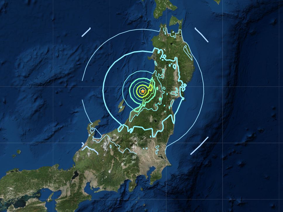
- Japan
CC BY-SA 4.0
In this project, a clustering task was done via DBSCN. With density based clustering, we were trying to classify or make clusters based on several parameters (based of their location, earthquake depth and magnitude).
Density-based spatial clustering of applications with noise (DBSCAN) is a data clustering algorithm proposed by Martin Ester, Hans-Peter Kriegel, Jörg Sander and Xiaowei Xu in 1996.

It is a density-based clustering non-parametric algorithm: given a set of points in some space, it groups together points that are closely packed together (points with many nearby neighbors "Fixed-radius near neighbors", marking as outliers points that lie alone in low-density regions (whose nearest neighbors are too far away). DBSCAN is one of the most common clustering algorithms and also most cited in scientific literature.
If you have something to say to me please contact me:
- Twitter: Doguilmak
- Mail address: doguilmak@gmail.com