Home
lmotta edited this page Jun 9, 2020
·
1 revision

Layer Tiles Mapcanvas Create a layer with grid of tiles from extent and zoom of map canvas.
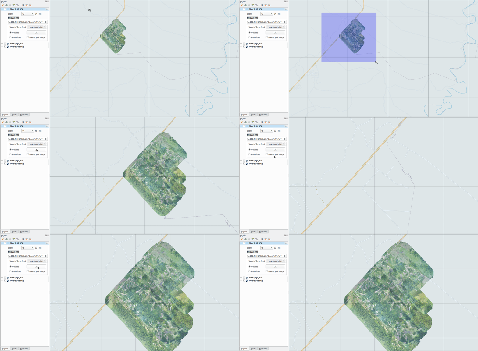
-
Added a XYZ tile server
Add XYZ connection in QGIS project".
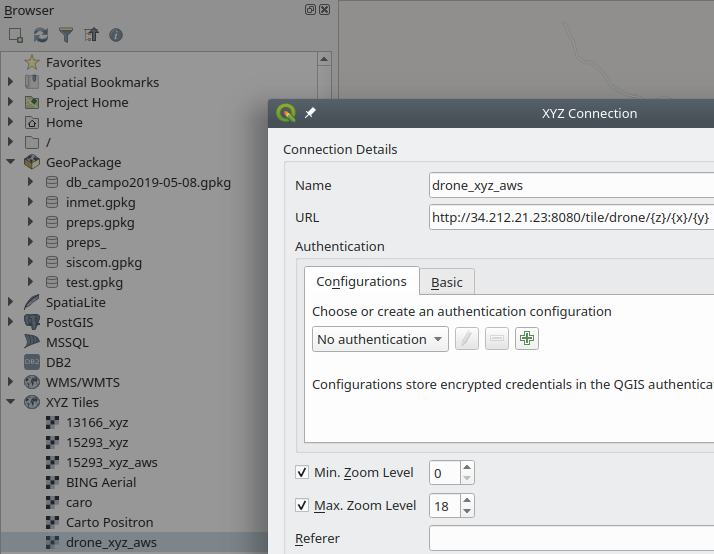
-
Run the plugin
Select the XYZ layer.
Run the plugin.

-
Layer tile
Show the zoom of current map canvas and total of tiles.
Update option for calculate the new grids.
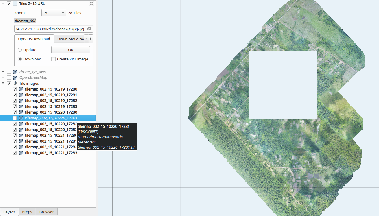
Download the images of each grid.
See the license of server for download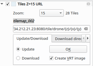
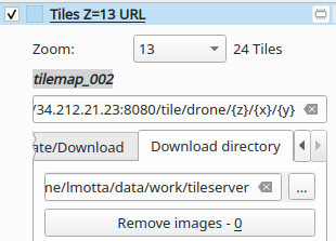
-
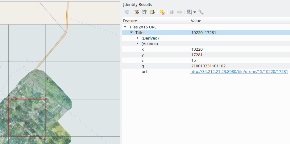
Identify the grid Types of tile address:
- Z, X and Y for tile
- Q(quadkey) use by BING
- Url: can see the picture of tile.
-
Downloads
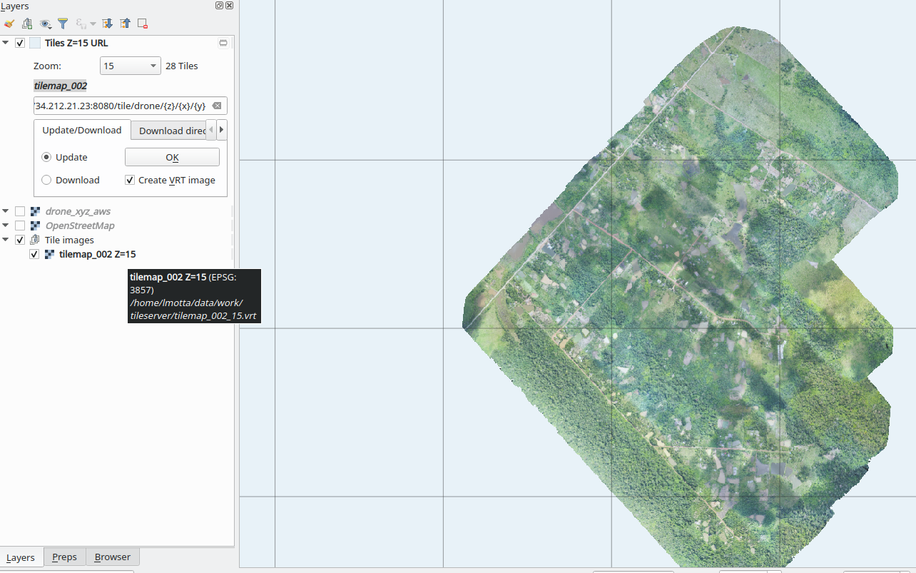
Each tiles) or mosaic tiles by virtual layers
-
This plugin was created for testing the tileraster script, that can create the tile from the Geotif image (https://raw.githubusercontent.com/lmotta/tilesraster).
-
The use of download need be respect the license of server.