Rasterio can map the pixels of a destination raster with an associated coordinate reference system and transform to the pixels of a source image with a different coordinate reference system and transform. This process is known as reprojection.
Rasterio's rasterio.warp.reproject() is a very geospatial-specific analog
to SciPy's scipy.ndimage.interpolation.geometric_transform() [1].
The code below reprojects between two arrays, using no pre-existing GIS
datasets. rasterio.warp.reproject() has two positional arguments: source
and destination. The remaining keyword arguments parameterize the reprojection
transform.
import numpy
import rasterio
from rasterio import Affine as A
from rasterio.warp import reproject, RESAMPLING

with rasterio.drivers():

    # As source: a 512 x 512 raster centered on 0 degrees E and 0
    # degrees N, each pixel covering 15".
    rows, cols = src_shape = (512, 512)
    d = 1.0/240 # decimal degrees per pixel
    # The following is equivalent to
    # A(d, 0, -cols*d/2, 0, -d, rows*d/2).
    src_transform = A.translation(-cols*d/2, rows*d/2) * A.scale(d, -d)
    src_crs = {'init': 'EPSG:4326'}
    source = numpy.ones(src_shape, numpy.uint8)*255

    # Destination: a 1024 x 1024 dataset in Web Mercator (EPSG:3857)
    # with origin at 0.0, 0.0.
    dst_shape = (1024, 1024)
    dst_transform = [-237481.5, 425.0, 0.0, 237536.4, 0.0, -425.0]
    dst_crs = {'init': 'EPSG:3857'}
    destination = numpy.zeros(dst_shape, numpy.uint8)

    reproject(
        source,
        destination,
        src_transform=src_transform,
        src_crs=src_crs,
        dst_transform=dst_transform,
        dst_crs=dst_crs,
        resampling=RESAMPLING.nearest)

    # Assert that the destination is only partly filled.
    assert destination.any()
    assert not destination.all()
See examples/reproject.py for code that writes the destination array to a GeoTIFF file. I've uploaded the resulting file to a Mapbox map to demonstrate that the reprojection is correct: https://a.tiles.mapbox.com/v3/sgillies.hfek2oko/page.html?secure=1#6/0.000/0.033.
Reprojecting a GeoTIFF dataset from one coordinate reference system is a common use case. Rasterio provides a few utilities to make this even easier:
transform_bounds()
transforms the bounding coordinates of the source raster to the target
coordinate reference system, densifiying points along the edges to account
for non-linear transformations of the edges.
calculate_default_transform()
transforms bounds to target coordinate system, calculates resolution if not
provided, and returns destination transform and dimensions.
import numpy
import rasterio
from rasterio.warp import calculate_default_transform, reproject, RESAMPLING

dst_crs = 'EPSG:4326'

with rasterio.open('rasterio/tests/data/RGB.byte.tif') as src:
    affine, width, height = calculate_default_transform(
        src.crs, dst_crs, src.width, src.height, *src.bounds)
    kwargs = src.meta.copy()
    kwargs.update({
        'crs': dst_crs,
        'transform': affine,
        'affine': affine,
        'width': width,
        'height': height
    })

    with rasterio.open('/tmp/RGB.byte.wgs84.tif', 'w', **kwargs) as dst:
        for i in range(1, src.count + 1):
            reproject(
                source=rasterio.band(src, i),
                destination=rasterio.band(dst, i),
                src_transform=src.affine,
                src_crs=src.crs,
                dst_transform=affine,
                dst_crs=dst_crs,
                resampling=RESAMPLING.nearest)
See rasterio/rio/warp.py for more complex examples of reprojection based on
new bounds, dimensions, and resolution (as well as a command-line interface
described
here).
It is also possible to use reproject() to create an output dataset zoomed
out by a factor of 2. Methods of the rasterio.Affine class help us generate
the output dataset's transform matrix and, thereby, its spatial extent.
import numpy
import rasterio
from rasterio import Affine as A
from rasterio.warp import reproject, RESAMPLING

with rasterio.open('rasterio/tests/data/RGB.byte.tif') as src:
    src_transform = src.affine

    # Zoom out by a factor of 2 from the center of the source
    # dataset. The destination transform is the product of the
    # source transform, a translation down and to the right, and
    # a scaling.
    dst_transform = src_transform*A.translation(
        -src.width/2.0, -src.height/2.0)*A.scale(2.0)

    data = src.read()

    kwargs = src.meta
    kwargs['transform'] = dst_transform

    with rasterio.open('/tmp/zoomed-out.tif', 'w', **kwargs) as dst:

        for i, band in enumerate(data, 1):
            dest = numpy.zeros_like(band)

            reproject(
                band,
                dest,
                src_transform=src_transform,
                src_crs=src.crs,
                dst_transform=dst_transform,
                dst_crs=src.crs,
                resampling=RESAMPLING.nearest)

dst.write_band(i, dest)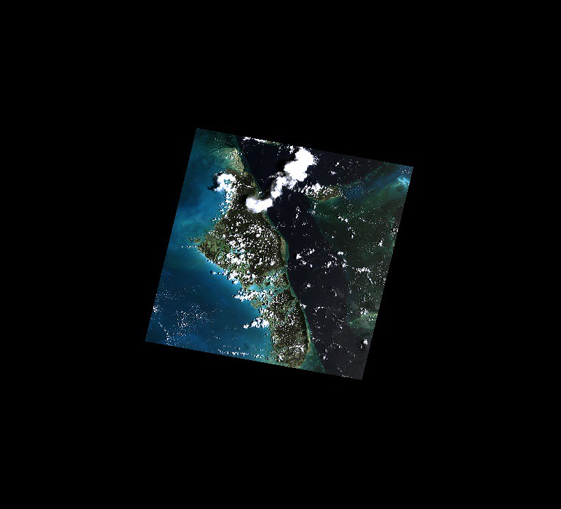)
| [1] | http://docs.scipy.org/doc/scipy/reference/generated/scipy.ndimage.interpolation.geometric_transform.html#scipy.ndimage.interpolation.geometric_transform |