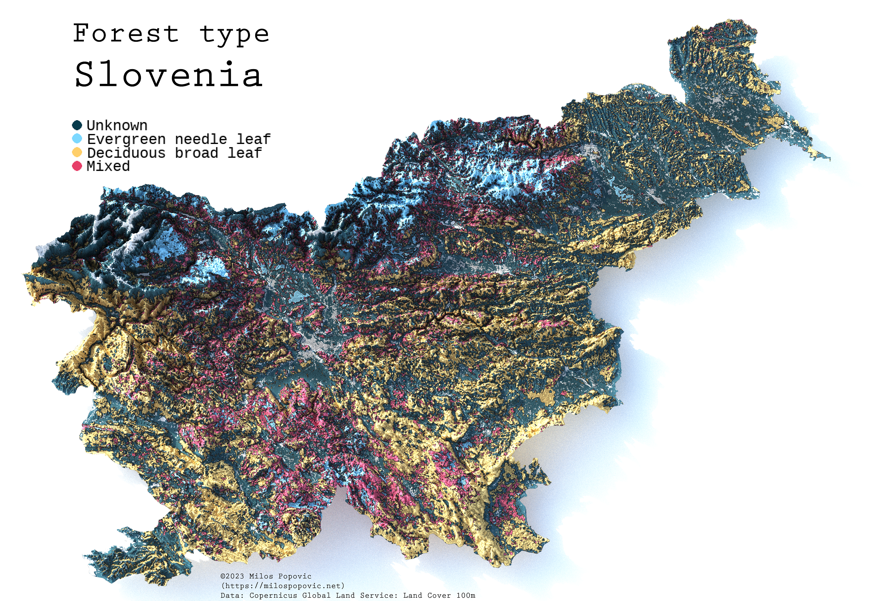
In this repo, you will learn how to create wonderful 3D forest-type maps with rayshader in R. We will create a 3D elevation mapped overlayed with an image of forest-type values derived from the Copernicus Global Land Cover project, which provides a harmonized and high-resolution classification and mapping of land cover types across the globe.