Blender minimal version : 2.8
Mac users warning : currently the addon does not work on Mac with Blender 2.80 to 2.82. Please do not report the issue here, it's already solved with Blender 2.83. Check the bug report.
Wiki - FAQ - Quick start guide
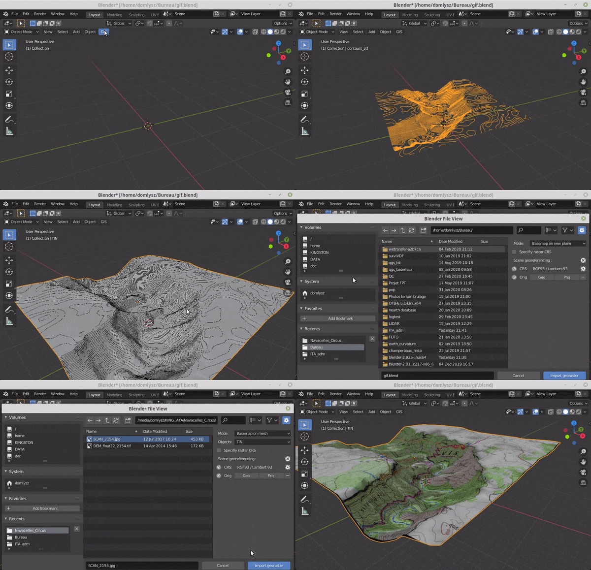
GIS datafile import : Import in Blender most commons GIS data format : Shapefile vector, raster image, geotiff DEM, OpenStreetMap xml.
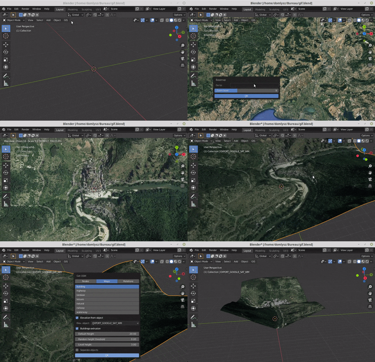
Grab geodata directly from the web : display dynamics web maps inside Blender 3d view, requests for OpenStreetMap data (buildings, roads ...), get true elevation data from the NASA SRTM mission.
And more : Manage georeferencing informations of a scene, compute a terrain mesh by Delaunay triangulation, make terrain analysis using shader nodes, setup new cameras from geotagged photos, setup a camera to render with Blender a new georeferenced raster.

