Skip to content
New issue

Have a question about this project? Sign up for a free GitHub account to open an issue and contact its maintainers and the community.

By clicking “Sign up for GitHub”, you agree to our terms of service and privacy statement. We’ll occasionally send you account related emails.

Already on GitHub? Sign in to your account

topological editing broken(?) #20610

Closed
qgib opened this issue Mar 24, 2015 · 7 comments
Closed

topological editing broken(?) #20610

qgib opened this issue Mar 24, 2015 · 7 comments
Labels
Bug Either a bug report, or a bug fix. Let's hope for the latter! Digitizing Related to feature digitizing map tools or functionality
Milestone

Comments

@qgib
Copy link
Contributor

qgib commented Mar 24, 2015

Author Name: Giovanni Manghi (@gioman)
Original Redmine Issue: 12441
Affected QGIS version: 2.8.1
Redmine category:digitising


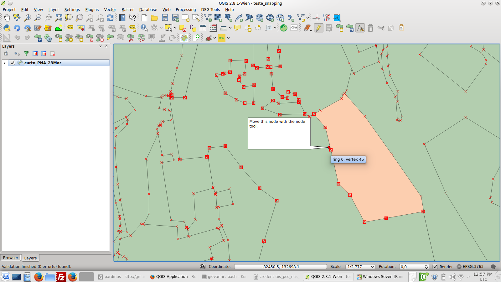
Please have a look at the attached screencast.

The very same project (so same data, same snapping options, etc.) is open under both Linux (Ubuntu 14.04) and Windows using QGIS 2.8.1 in both cases.

As you can see topological editing under Linux does not works, while under Windows is ok.

Under Linux is not always broken, sometimes it works others don't, is anyway pretty easy to replicate.

I also attach the sample project/data.


@qgib
Copy link
Contributor Author

qgib commented Mar 24, 2015

Author Name: Giovanni Manghi (@gioman)


very odd, see also the second attached screencast: if before moving the node that does not respect the topological editing I move another one that works ok, then moving again the first one is ok... Sometimes it also seems that (working or not) depends just on the scale... Honestly I'm baffled by this bug, hope someone can sort it out.


  • 8539 was configured as bug_topological_editing_take2.mp4

@qgib
Copy link
Contributor Author

qgib commented Mar 24, 2015

Author Name: Jürgen Fischer (@jef-n)


  • subject was changed from topological editing broke under Linux to topological editing broken under Linux

@qgib
Copy link
Contributor Author

qgib commented Mar 25, 2015

Author Name: Giovanni Manghi (@gioman)


  • 8538 removed teste_snapping.zip

@qgib
Copy link
Contributor Author

qgib commented Mar 25, 2015

Author Name: Giovanni Manghi (@gioman)


it seems to depend on what vertex is dragged. If is dragged the one of the right polygon than all ok, if the one of the left polygon then not ok... but again this happen only on linux, not windows.


  • 8543 was configured as vert15_right.png
  • 8544 was configured as vert45_left.png
  • 8542 was configured as teste_snapping.zip

@qgib
Copy link
Contributor Author

qgib commented Mar 25, 2015

Author Name: Giovanni Manghi (@gioman)


apparently there is anyway something very wrong also under Windows, this has just been sent to me by a user

https://www.dropbox.com/s/wm6mop1ydudx8uj/capture_Wed_Mar_25_15.30.53.mkv?dl=0


  • subject was changed from topological editing broken under Linux to topological editing broken(?)

@qgib
Copy link
Contributor Author

qgib commented May 14, 2015

Author Name: Giovanni Manghi (@gioman)


  • fixed_version_id was changed from Version 2.8.2 to Version 2.10

@qgib
Copy link
Contributor Author

qgib commented Jun 2, 2015

Author Name: Giovanni Manghi (@gioman)


I cannot replicate it anymore on the latest master.


  • status_id was changed from Open to Closed
  • resolution was changed from to not reproducable

@qgib qgib added Bug Either a bug report, or a bug fix. Let's hope for the latter! Digitizing Related to feature digitizing map tools or functionality labels May 25, 2019
@qgib qgib added this to the Version 2.10 milestone May 25, 2019
@qgib qgib closed this as completed May 25, 2019
Ailurupoda pushed a commit to SIRS-CLS/QGIS that referenced this issue Feb 18, 2020
[processing] set default value for band parameters in GDAL algs (fix qgis#20610)
Sign up for free to join this conversation on GitHub. Already have an account? Sign in to comment
Labels
Bug Either a bug report, or a bug fix. Let's hope for the latter! Digitizing Related to feature digitizing map tools or functionality
Projects
None yet
Development

No branches or pull requests

1 participant