All-in-one vector tile server backend.
Project Status: Basic functionality works, performance (import and server) is good (also for the planetfile), fancy features are in active development.
- All-in-one backend solution:
- Standalone server for standard/background maps
- Easily embeddable for application specific datasets
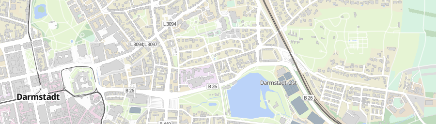
- Serves vector tiles https://github.com/mapbox/vector-tile-spec (consumable with any compatible rendering library e.g. https://github.com/mapbox/mapbox-gl-js)
- Read OpenStreetMap geometry from standard .osm.pbf files
- Read OpenStreetMap coastline data from shapfiles
- Lua scripting for map profiles
- Example mapboxgl-js styles
- tiles-import (src/import.cc) takes OpenStreetMap data and produces the database.
- tiles-server (src/server.cc) takes the database and serves vector tiles (and the ui).
- tiles-benchmark (src/benchmark.cc) measures performance (and builds single tiles for dev/debugging).
- tiles-test (test) executes the tests.
On Ubuntu 20.04 LTS:
sudo apt update
sudo apt install git wget cmake ninja-build build-essential libboost1.71-all-dev

git clone git@github.com:sfahnens/tiles.git
cd tiles && mkdir build && cd build

cmake -GNinja -DCMAKE_BUILD_TYPE=Release ..
ninja tiles-import tiles-server

# download coastline data
wget https://osmdata.openstreetmap.de/download/land-polygons-complete-4326.zip

# download OpenStreetMap germany dataset
wget https://download.geofabrik.de/europe/germany-latest.osm.pbf

./tiles-import --osm_fname germany-latest.osm.pbf --coastlines_fname land-polygons-complete-4326.zip

./tiles-server

# Now, go to localhost:8888 in your browser.
MIT