See Documentation: Doc
Bounding Box: [42.047000, -87.682300, 42.062000, -87.668500]
Aerial Image with highest resolution from Bing Map API:
OSM partial highways mapping result:

| Name | Name | Last commit message | Last commit date | |
|---|---|---|---|---|
See Documentation: Doc
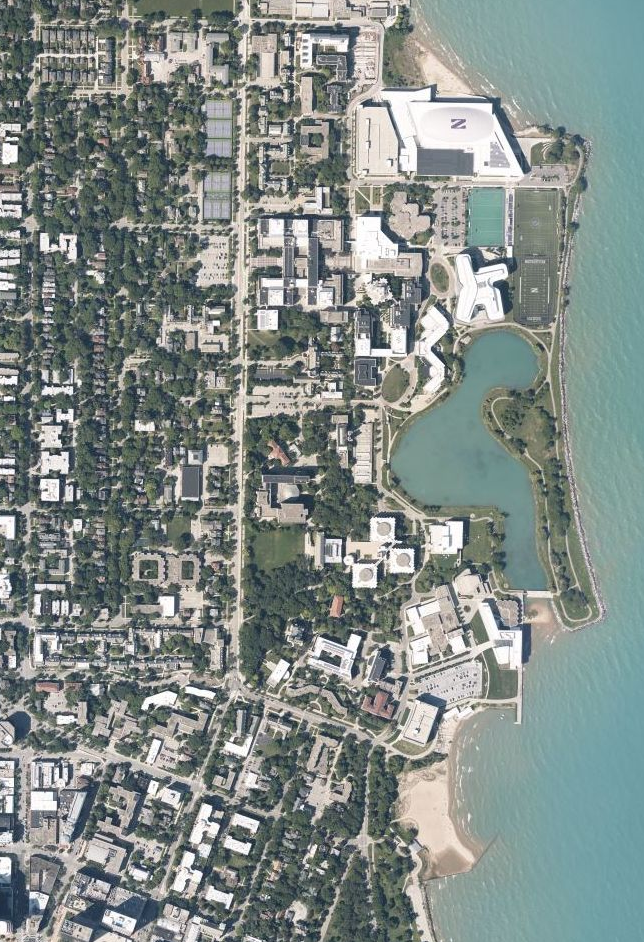
Bounding Box: [42.047000, -87.682300, 42.062000, -87.668500]
Aerial Image with highest resolution from Bing Map API:
OSM partial highways mapping result: