Skip to content

yushendye/Aerial-Image-Detection

Folders and files

NameName
Last commit message
Last commit date

Latest commit


History

3 Commits


Repository files navigation

Aerial-Image-Detection

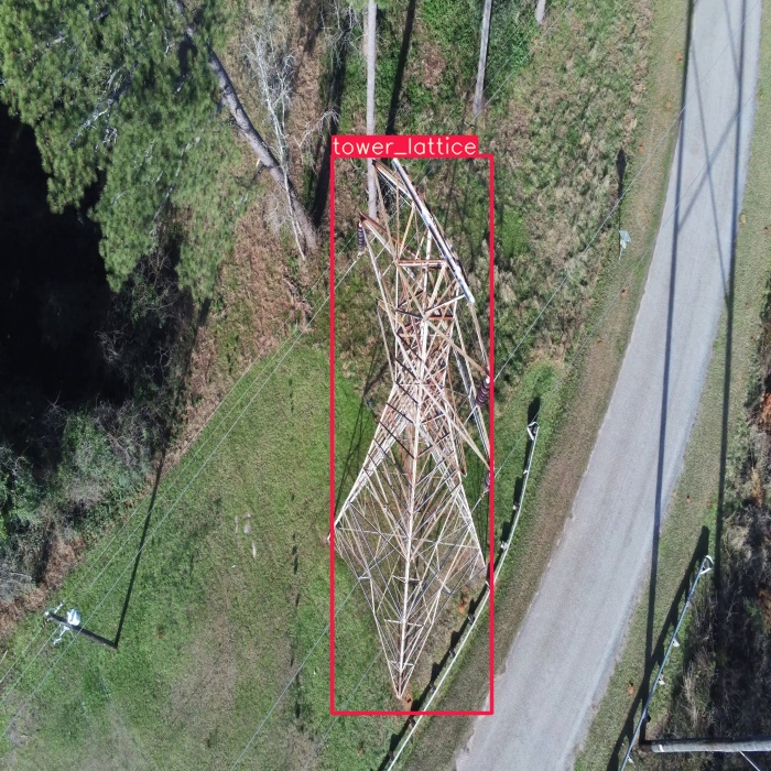
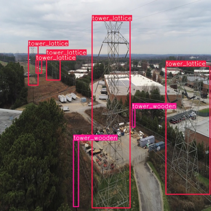
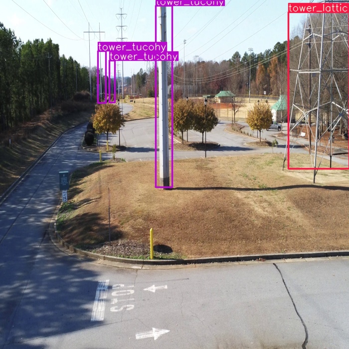
For this project I have used TTPLA tower dataset. The dataset can be downloaded from here .

Train mAP:

           Class            Images     Targets       P           R        mAP@.5  mAP@.5:.95
                 all         394         663       0.912       0.957       0.953       0.872
       tower_lattice         394         275       0.941       0.989       0.985       0.937
        tower_tucohy         394         170       0.875       0.947       0.939       0.854
        tower_wooden         394         218       0.919       0.936       0.934       0.824

Validation data mAP

         Class              Images     Targets       P           R      mAP@.5       mAP@.5:.95
                 all          53         103       0.797       0.603       0.583       0.447
       tower_lattice          53          41       0.969       0.756       0.753        0.61
        tower_tucohy          53          16         0.6        0.75       0.713       0.543
        tower_wooden          53          46       0.824       0.304       0.283       0.187

Test data mAP

         Class              Images     Targets       P           R         mAP@.5      mAP@.5:.95
                 all         123         202       0.825       0.643       0.618       0.471
       tower_lattice         123          88       0.887       0.807        0.79        0.64
        tower_tucohy         123          45       0.705       0.689       0.652       0.541
        tower_wooden         123          69       0.882       0.435       0.411       0.232

Inference on the images look like following images


About

Aerial Image Detection

Resources

Stars

Watchers

Forks

Releases

No releases published

Packages

No packages published