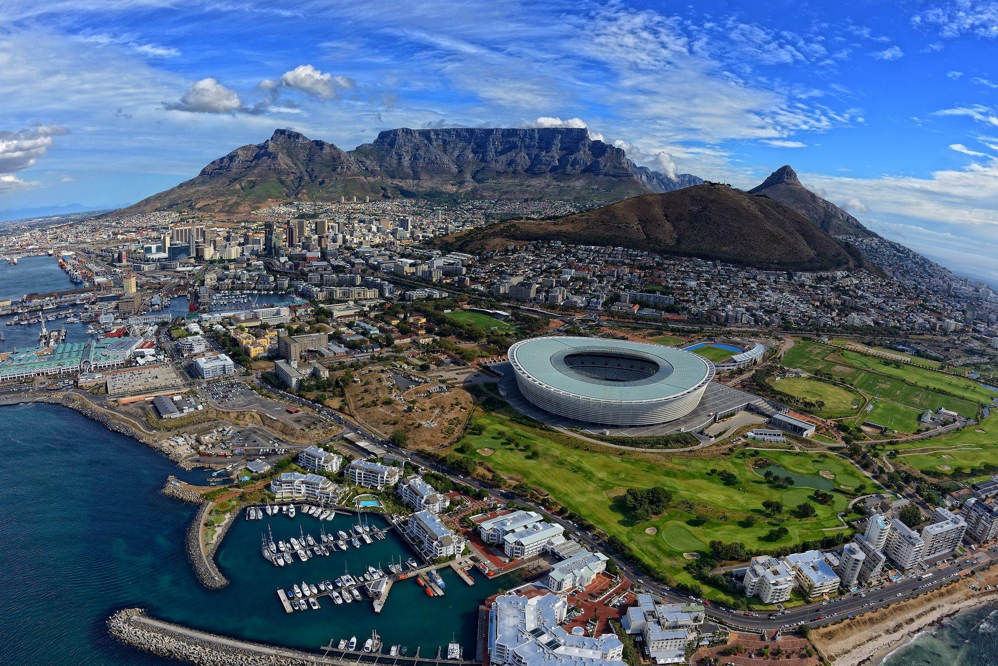
Research on Cape Town suburbs and towns which can be used to make a decision on purchasing property in Cape Town.
- CapeTown.ipynb is used to generate visual heat map of population in Cape Town
- DurbanvilleSuburbs.ipynb is used to generate a .csv with given headers
	Suburb
	Latitude
	Longtitude
	Distance(KM) (This is distance from V&A Waterfront to Point B can be changed in script)
	Height above sea level(m) (why we calculated this? more elevation = better view of scenary - hypothesis)

- can be used given a provided array of Suburbs/Streets/Places example
	['Durbanville Hills','Vergesig','Clifton']
https://adgsenpai.github.io/Cape-Town-Project/capetownproject/wind-weather-graphs.html