Geo json files contain the lat-long informations about any place, so that it can be mapped. Every country has their unique geo json, that can be used for visualizations. However, for Bangladesh, the updated geojson file along with example was not available. This repo is aimed to solve this issue.
Shape files in SHP format: [Bangladesh - Subnational Administrative Boundaries] (Original Source)
From there, download the file: bgd_adm_bbs_20201113_SHP.zip (186.6M)
Extract and save the 64 files in a folder.
- adm = Administration Regions
- adm0 = Entire Bangladesh
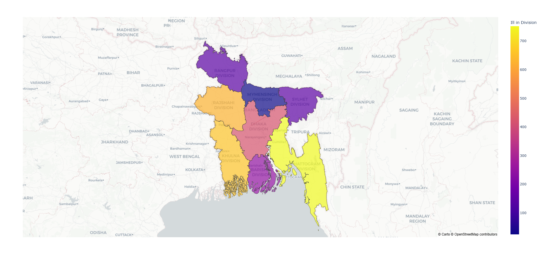
- adm1 = 8 Divisions
- adm2 = 64 Districts/Zilas
- adm3 = 492 Upazilas
- adm4 = 5160 Thanas/Unions
The folder Geo Json Maps contains the geo json files of 2,3 and 4. You can do for the rest if needed.
import shapeTojson
from osgeo import ogr


shapeTojson.shp2json('Shape_files/path_to_shp_file.shp')
Source of converter function: Yash Sanghvi
Installing Osgeo to import ogr: Open Source Geo Spatial Foundation
-
All the instructions given in the
bd map.ipynbfile. -
A friendly tutorial on choropleth map using plotly can be found here.
The repo from Yasser Aziz inspired this work.