Dynamic grid labels in layout doesn't update automatically #26101
Labels
Bug
Either a bug report, or a bug fix. Let's hope for the latter!
Print Layouts
Related to QGIS Print Layouts, Atlas or Reporting frameworks
Regression
Something which used to work, but doesn't anymore
Comments
|
Author Name: Giovanni Manghi (@gioman)
|
|
Author Name: Paolo Cavallini (@pcav) Could you please check again on current release? |
|
Author Name: Giovanni Manghi (@gioman)
|
|
@klakar Hello, is this still valid on recent releases? |
|
Yes! Same problem in 3.24.1 |
|
I got this bug in 3.26 also |
Sign up for free
to join this conversation on GitHub.
Already have an account?
Sign in to comment
Author Name: Klas Karlsson (@klakar)
Original Redmine Issue: 18210
Affected QGIS version: 3.4.3
Redmine category:map_composer/printing
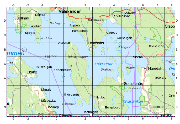
I've got a custom format grid label, offset 500 m to my 1000 m UTM grid, that in 2.18 dynamically updated a index-grid for my map when I panned the map contents (image).
In QGIS 3 I need to manually open and confirm the settings for the custom format coordinates to update to a new extent after panning the map.
The labels used to update when ever the map extent was changed...
I also use the same x_min/y_min expression to print corner labels and that updates dynamically as it should.
Code for custom label (map item id is "main"):
@
CASE
WHEN @grid_axis = 'y'
THEN substr('ABCDEFGHIJKLMNOPQRST',
(@grid_number-to_int(y_min(map_get(item_variables('main'),'map_extent'))/1000)*1000+500)/1000 , 1)
WHEN @grid_axis = 'x'
THEN (@grid_number-to_int(x_min(map_get(item_variables('main'),'map_extent'))/1000)*1000+500)/1000
END
@
The text was updated successfully, but these errors were encountered: