Home
Here are tutorials on how to use these tools.
The geoprocessing tools listed below are provided to simplify interaction between ArcGIS and Hadoop components. They are written in python.
Copy From HDFS copies a file or directory from a remote HDFS to a local file system.
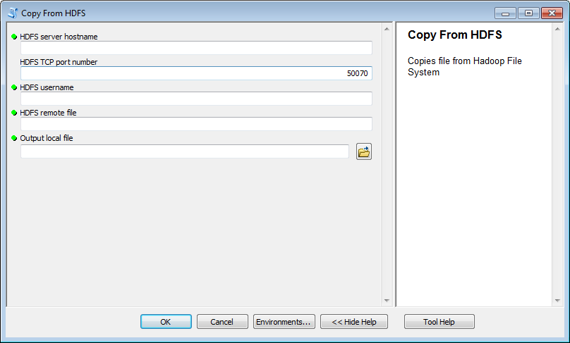
Usage Notes
- If the remote path is a file and the local path is a file, the remote file will be copied to the local file path.
- If the remote path is a directory and the local path is a file, each file from the remote directory will be appended to the local file with a new line to separate each file.
- To fill in this GP tool, see the tutorial on copying from HDFS to Features
Copy To HDFS copies a local file to a remote file with the option to either append or overwrite an existing file in the remote HDFS.
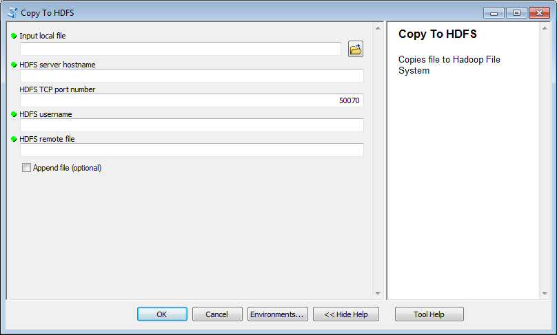
Usage Notes
- To fill in this GP tool, see the tutorial on copying Features to HDFS
Execute Workflow executes an Oozie workflow application on a Hadoop system with the Oozie component installed.
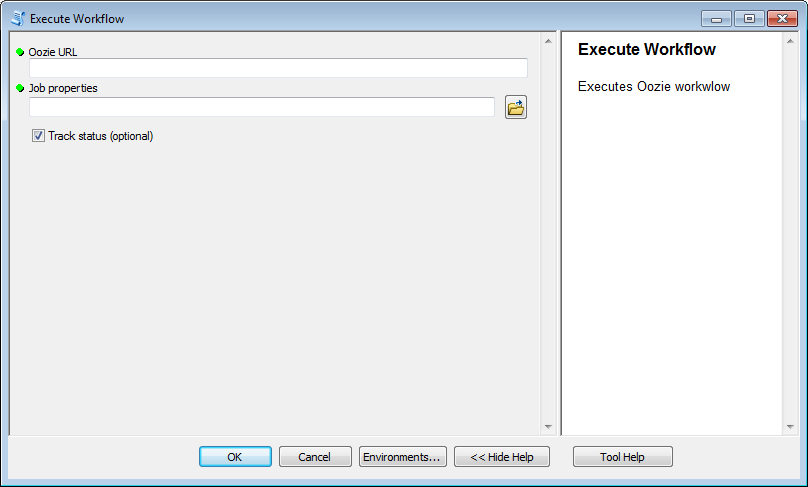
Usage Notes
- This geoprocessing tool expects that the workflow XML has already been copied to HDFS and that the job properties file supplied to the tool points to that workflow.
Features to JSON converts a feature class to a JSON file format. The JSON file format can be either Enclosed JSON or Unenclosed JSON. See JSON Formats.
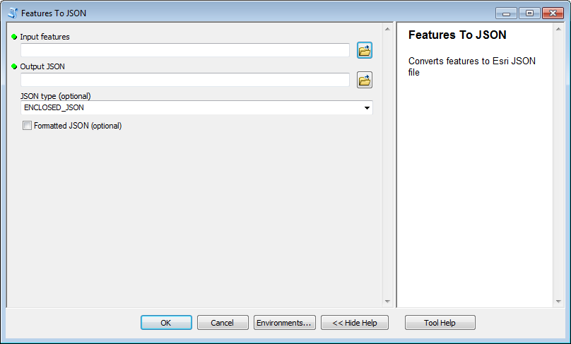
Usage Notes
- To fill in this GP tool, see the tutorial on copying Features to HDFS
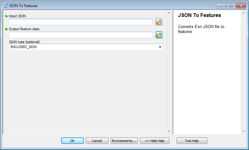
JSON to Features converts a JSON file to a feature layer
Usage Notes
- To fill in this GP tool, see the tutorial on copying from HDFS to Features