Administrative Boundaries for the City of Gary, Indiana. Boundaries are provided in Shapefile (EPSG 4326) format and as geoJSON when available.
Data comes from the Gary Sanitary District GIS Department
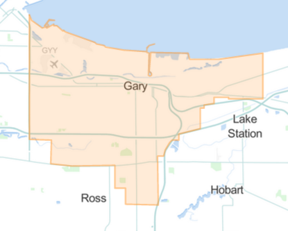
Municipal boundary for the City of Gary.
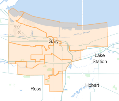
Legislative Districts (6) for the City of Gary. Each of the six districts is represented by a member of the Gary Common Council
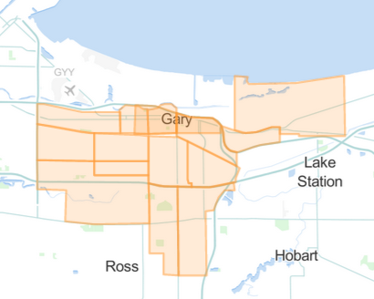
17 neighborhood boundaries in the City of Gary.
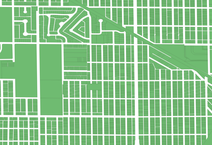
58,397 property parcels in the City of Gary. Includes a property identification number (PIN) for each parcel. Available only as a Shapefile due to large size.


