-
Notifications
You must be signed in to change notification settings - Fork 76
New issue
Have a question about this project? Sign up for a free GitHub account to open an issue and contact its maintainers and the community.
By clicking “Sign up for GitHub”, you agree to our terms of service and privacy statement. We’ll occasionally send you account related emails.
Already on GitHub? Sign in to your account
中国地学数据的来源和引用 #363
Comments
这些会尽量在 GMT_Docs 中说明。
贡献数据的用户可能没有数据的版权,此时可以提到贡献者的贡献,引用还是需要引用原始数据的出处。
同上,社区构建的数据,但社区并没有版权,所以并不适合引用,也就没必要弄doi。 |
中文手册中目前并未说明。不过,我们应该先重点在迁移数据库,迁移完毕后再努力解决数据建设流程的说明。
目前中文手册和本数据库中并未提到贡献者的贡献
本数据库中并未说明原始数据的出处。另外,我们真的需要在手册和数据库中重复原始数据的出处吗? |
只在手册里说明,见 gmt-china/china-geospatial-data#21 |
|
Close? |
|
等我检查完数据的来源和引用吧,其实我还想把数据到底如何构建而成的记录好。目前这些数据相当于直接投过来,我们没有做只量检查。 |
|
FYI, I just transferred the issue to the GMT_Docs repository. |
|
|
仅仅是为了互相引用,方便我们跳转和联系不同issue和pr: |
|
这个恐怕不是一个 good first issue. |
|
貌似只剩 CN-borders 的具体构建流程没有补充了:
Ping @liuzhumei for comments. |
|
好的,安排上
|
我确认一下,待补充的CN-borders数据集需要:
|
|
优先考虑整理数据 |
数据库仓库优先更新
我觉得在 CN-borders 数据处理流程中只需说明所有命令行步骤即可。 至于剩余博文内容,我在 #499 中建议迁移至 自定义数据 中的一节,因为《1:100万全国标准基础地理数据》也算自定义数据了。然后将博文重定向至此节。 |
|
我同时绘制
|
所以,现在
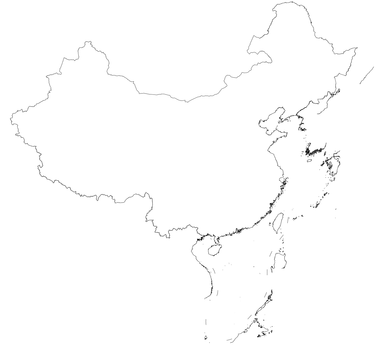
从图上看,2017 版本里没有明确的南海诸岛和中国国界? 但有正确的省界和十段线?
从图上看能看到十段线啊?
原来如此~
No~ |
|
现在的十段线数据 |
|
至于 |
|
从需求出发。我感觉大家通常的需求包括:
似乎没有单独绘制十段线的需求? |


(Originally posted in #343 (comment))
来源和构建流程
引用
The text was updated successfully, but these errors were encountered: