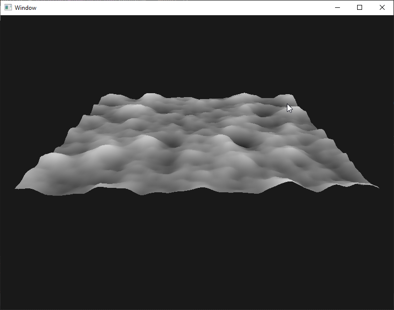
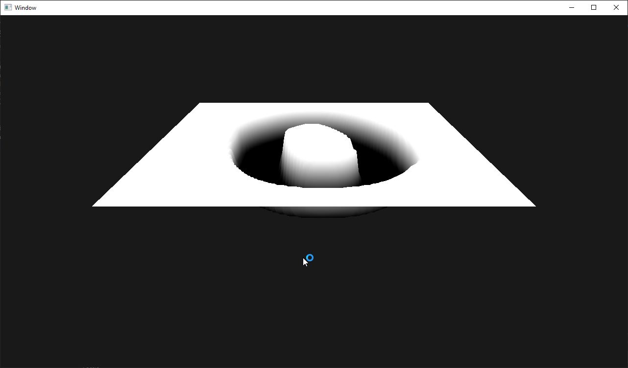
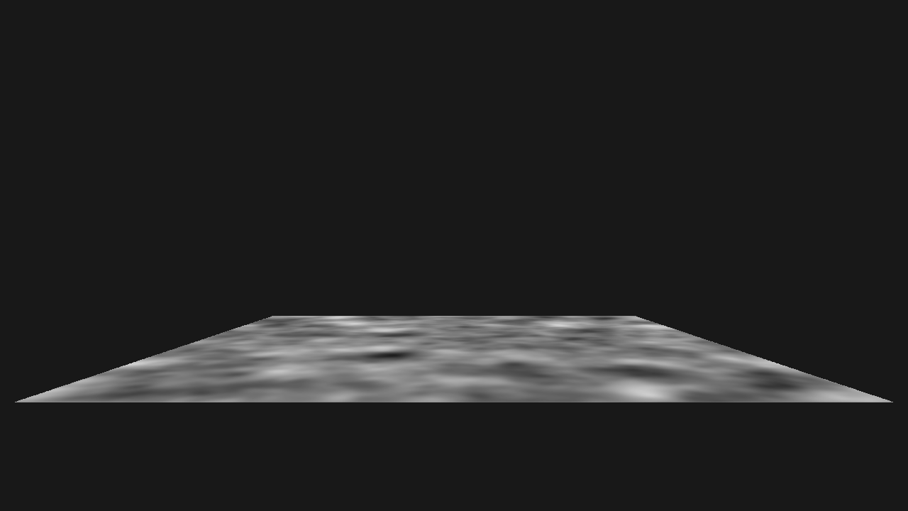
image-to-terrain A program that generates a terrain based on a heightmap image. Press and hold + or - to increase or decrease the scaling value. Dependencies: glad glfw glm stb_image