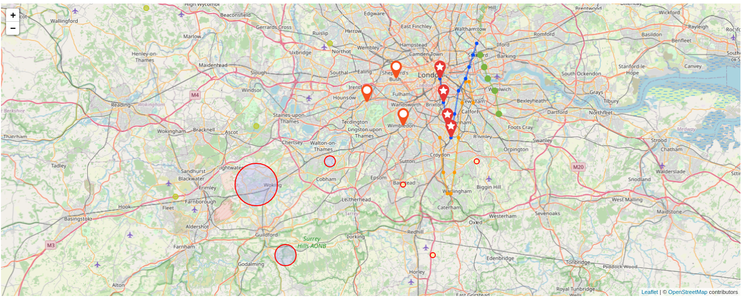
warp view map
type = map
GTS, GTS array or complex data.
It accepts also:
{
      "type": "Feature",
      "properties": {},
      "geometry": {
        "type": "Polygon",
        "coordinates": [
          [
            [
              -87.46438980102539,
              20.194223985598576
            ],
            [
              -87.40379333496094,
              20.194223985598576
            ],
            [
              -87.40379333496094,
              20.241260699321657
            ],
            [
              -87.46438980102539,
              20.241260699321657
            ],
            [
              -87.46438980102539,
              20.194223985598576
            ]
          ]
        ]
      }
}-
Positions are a map with
positionskey and a list of positions and values: -
positions only:
{"positions":[[51.5,-0.22],[51.46,-0.3],[51.42,-0.2]]} -
positions and one value used as dot radius:
{"positions":[[51.2,-0.12,10],[51.36,-0.0,21],[51.32,-0.2,15]]} -
positions and two values used as dot radius and dot fill color:
{"positions":[[51.1,-0.52,42,10],[51.56,-0.4,21,30],[51.42,-0.6,84,40],[51.3,-0.82,42,1],[51.76,-0.7,21,20]]}{ 'data' [ { 'positions' [ [ 51.5 -0.22 ] [ 51.46 -0.3 ] [ 51.42 -0.2 ] ] } ] }
| Name | Type | Description |
|---|---|---|
| borderColor | string |
Border color of the markers |
| key | string |
Override the computed label |
| minColor | string |
Minimum color of weighted dots |
| maxColor | string |
Maximum color of weighted dots |
| startColor | string |
Starting color of weighted dots |
| endColor | string |
Ending color of weighted dots |
| numColorSteps | number |
Number of steps to compute the gradient of weighted dots |
| properties | map |
Additional key/value properties map to add to popups |
-
key: specify render type -
path: display line between positions, usefull for a trajectory-
color(optional): path color -
displayDots(optional): true or false, display dots at datapoints
-
-
point: display dots or markers (to specify with "render")-
render:-
dotradius-
fillColor(optional) -
fillOpacity(optional) -
edgeColor(optional) -
edgeOpacity(optional) -
weight(optional): edge thickness
-
marker-
marker: name of the marker icon, see Fontawesome v4. -
color(optional)
-
-
-
-
legend(optional): text of your choice
| Name | Type | Default | Description |
|---|---|---|---|
| timeMode | string |
'date' | date, timestamp |
| minColor | string |
Minimum color of wheighted dots | |
| maxColor | string |
Maximum color of wheighted dots | |
| numColorSteps | number |
5 | Number of steps to compute the grdient of wheighted dots |
| map | object |
{} | Specific map object described below |
| Name | Type | Default | Description | Comment |
|---|---|---|---|---|
| tiles | string[] |
[] | List of Tile server urls | |
| heatRadius | number |
25 | Radius of heat-point | Not tested |
| heatBlur | number |
15 | Amount of blur | Not tested |
| heatOpacity | number |
0.5 | Opacity of heat-point | Not tested |
| heatControls | boolean |
false | Display controls to modify heat radius, blur and opacity | Not tested |
| mapType | string |
'DEFAULT' | Background tile server to use, accepted values are: NONE, DEFAULT, HOT, TOPO, TOPO2, SURFER, HYDRA, HYDRA2, TONER, TONER_LITE, TERRAIN, ESRI, SATELLITE, OCEANS, GRAY, GRAYSCALE, WATERCOLOR, CARTODB, CARTODB_DARK | |
| startLat | number |
Initial latitude | ||
| startLong | number |
Initial longitude | ||
| startZoom | number |
Initial zoom |
<warpview-tile
          url="https://warp.senx.io/api/v0/exec"
          responsive="true"
          type="map">
0 2 <% 'j' STORE
    NEWGTS 'serie' $j TOSTRING + RENAME 'gts' STORE
    0 10 <%
        'i' STORE
        $gts NOW $i STU * + RAND 100 * RAND 100 * RAND 10 * RAND ADDVALUE DROP
    %> FOR
    $gts
%> FOR
</warpview-tile>