A new version for Blender 2.80 beta is already available in the dedicated branch. Until official 2.8 release, the master branch is for Blender 2.79 only.
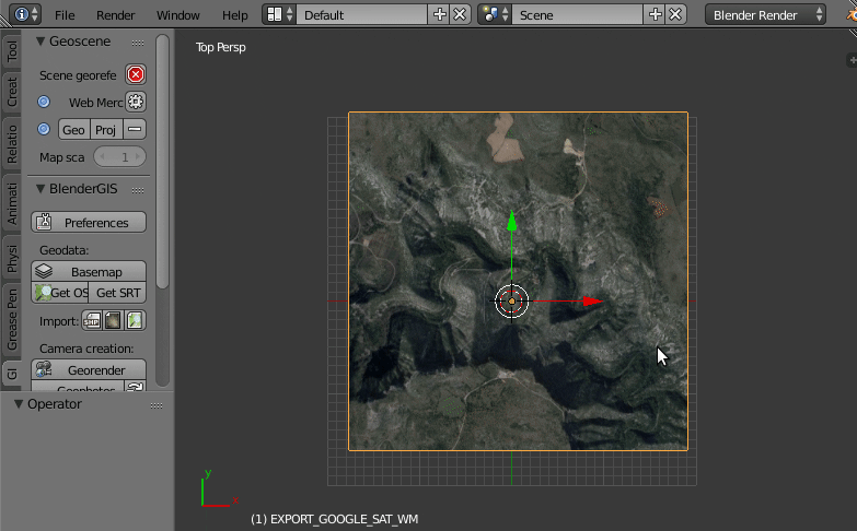
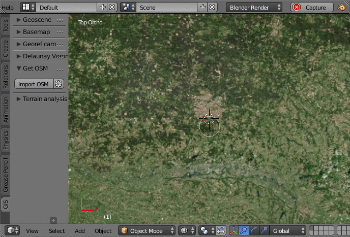
Display web map service like OpenStreetMap directly in Blender
Get SRTM topographic data and apply it as height texture
A Shapefile is a popular geospatial vector data format for geographic information system software.
This tool can import into Blender most of shapefile feature type. It can also uses attributes data to define Z elevation values or Z extrusion values.
Exporter script can export a mesh to pointZ, polylineZ or polygonZ shapefile. Note that currently this tool does not re-export attribute data include in the dbase file linked to the shapefile. So if you want to import a shapefile for edit it into Blender and then re-export it, you will lose attribute data.
Import geotiff or common image format georeferenced with a world file.
You can import the raster as a plane mesh, as backgound image for orthographic view, as UV texture mapping on a mesh or as DEM for warp a mesh with the displace modifier.
ESRI ASCII GRID format is also supported through a dedicated import tool.
This is a tool to create a new camera correctly setup for produce a map render. Georeferencing data (worldfile) are writing in text file accessible from the Blender text editor.
This script computes Delaunay triangulation in 2.5D. This triangulation is suitable for create a 3D terrain mesh from points cloud or contour lines
The script can also compute Voronoi tessellation in 2D which is the dual of delaunay triangulation. Voronoi diagram is suitable to make neighborhood analysis map.
This part of Blender GIS is designed to assist in the analysis of the topography : height, slope and azimuth (aspect).
There are 2 tools, one to build materials nodes setup for Cycles engine, and a second to configure the color ramp as usual in common GIS software (reclassify values and apply color ramp presets).
Handle various projection systems with reprojection capabilities and compatibility with some others addons