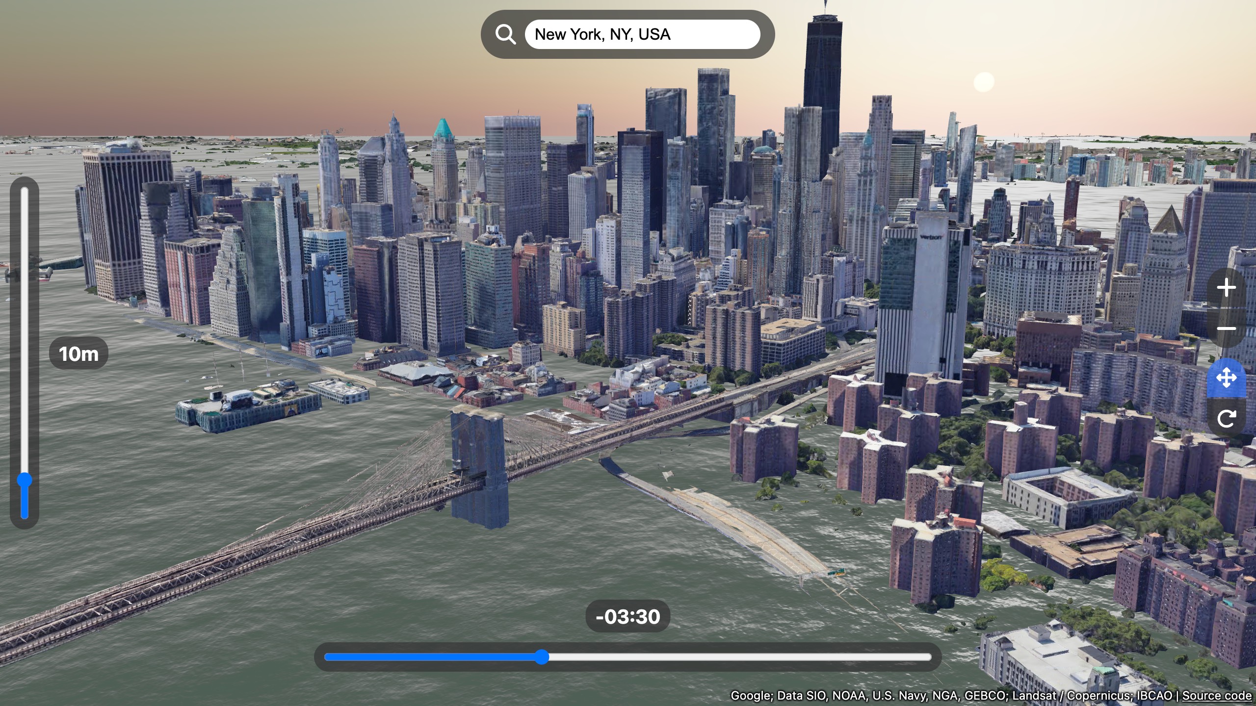
A 3D map of sea level rise simulation. This demo shows how to use Google Maps Photorealistic 3D Tiles with deck.gl and three.js.
See a Live Demo. Move sliders to change the sea level and the time offset.
Note that the Google 3D tiles reaches its daily access limit quickly, so if you can only see the ocean, try again after midnight Pacific Time the next day.
- Work with a 3D tile renderer: deck.gl
- deck.gl
- @math.gl/geoid
- GeographicLib: Installing the geoid datasets
- three.js - webgl ocean
- SunCalc
- photorealistic-3d-deckgl
Sea Level Rise 3D Map is available under the MIT license.