fdgis is a Python library that makes maps.
pip install fdgis
from fdgis import make_map
text = "He visited New Jersey last year."
geojson = make_map(text, map_format="geojson")
{u'type': u'FeatureCollection', u'features': [{u'geometry': {u'type': u'GeometryCollection', u'geometries': [{u'type': u'Point', u'coordinates': [-74.49987, 40.16706]}]}, u'type': u'Feature', u'properties': {u'geonameid': 5101760, u'confidence': 0.0241, u'pcode': None, u'name': u'New Jersey', u'country_code': u'US'}}]}
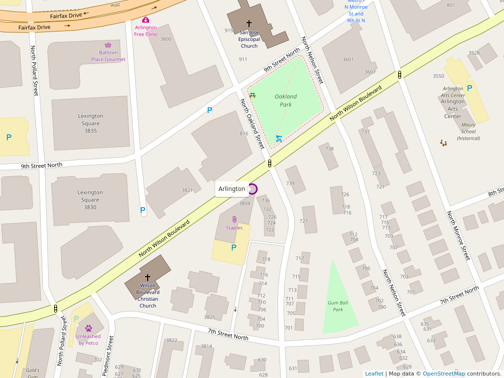
from fdgis import make_map
text = "He visited Arlington, VA"
image = make_map(text, map_format="image")
image.save("/tmp/map.png")
| Languages Supported |
|---|
| Arabic |
| English |
| Spanish |
fdgis works by sending requests to First Draft GIS servers. First Draft GIS is an open-source artificial intelligence that makes maps. The source code for First Draft GIS can be found at https://github.com/FirstDraftGIS/firstdraft. By default the library works by sending a request to the public First Draft GIS server at https://firstdraftgis.com. You can point fdgis to your own server in the following way
import fdgis
fdgis.default_url_to_server = "https://yourownserverhere.com"
geojson = fdgis.make_map("He took a long train ride to Columbus, OH.")
If you want to point fdgis to the more advanced but highly unstable dev version, you would do the following:
import fdgis
fdgis.default_url_to_server = "https://dev.firstdraftgis.com"
geojson = fdgis.make_map("He took a long train ride to Columbus, OH.")
You can specify a timeout for the make_map method. If the method doesn't make a map in the amount of seconds you specify it returns None. If you prefer it to throw a Timeout error instead, you can write set timeout_raises_exception to True. See the example below:
from fdgis import make_map
try:
    geojson = make_map("Houston has the best food.", timeout=3, timeout_raises_exception=True)
except Excpetion as e:
    print "UH OH. fdgis threw an exception"
You can specify the timezone if made by an end user by using the end_user_timezone field.
from fdgis import make_map
geojson = make_map("I like Clarendon", end_user_timezone="America/New_York")
You can resolve places without case sensitivity.
from fdgis import make_map
geojson = make_map("bethesda", case_insensitive=True)
To test the package run
python -m unittest fdgis.tests.test
If you have fdgis installed on a First Draft GIS server and want to use it to test your local server, run
python -m fdgis.tests.test_locally
These are the types of data that FDGIS can create a map from
| Format | Status |
|---|---|
| CSV | Yes |
| DOC | No |
| DOCX | Yes |
| HTML | Yes |
| Yes | |
| TXT | Yes |
| TSV | Yes |
| XLS | No |
| XLSM | Yes |
| XLSX | Yes |
| XLTM | Yes |
| XLTX | Yes |
If you have any questions, don't hesitate to contact the author at daniel@firstdraftgis.com or open up an issue on the GitHub Repo at https://github.com/FirstDraftGIS/fdgis/issues