Repository navigation

Repair maps, draft roads and inspect surface changes.
Open the app · Release guide · Full changelog
- SLAM-map repair, loop inspection, IMU-aware mapping and saved projects.
- Point-supported vector-map drafts, crossing/stop/signal review, shared-boundary editing and Autoware Lanelet2 export.
- Map coverage and density, bidirectional discrepancy regions and cell cross-sections with scoped JSON/CSV evidence.
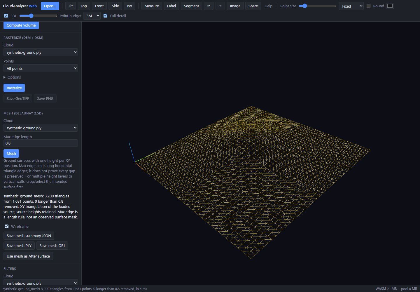
- Before/After cut and fill, signed cell-height changes, and terrain mesh inspection/export with volume handoffs.
- Tiled/COPC processing workflows and recorded CPU/WASM/WebGPU distance improvements.
- CLI bridge analysis, source-audited mapping diagnostics and explicit offline Self QA fixtures.
Python distribution: cloudanalyzer==0.6.0. Source archive, wheel and SHA-256 sums are attached. Publishing this release also starts the repository's PyPI workflow; its completion is separate from GitHub release publication. The optional cloudanalyzer-core extension keeps its own version.
Validation: strict distribution checks; 131 release-focused Python tests; installed-wheel synthetic benchmark gate and leaderboard smoke. Unchanged application code retains the preceding successful TypeScript/production build, 130 Web unit tests and 19 related browser checks. GitHub CI completion is not claimed.
Terrain meshing/cut-fill are 2.5D surface workflows, with loaded-data, thinning and gap limitations. Physical ten-billion-point processing remains unbenchmarked. Vector-map semantics need human review. The unmerged wgpu LiDAR AI draft remains outside this release.
Full changes: v0.5.0...v0.6.0