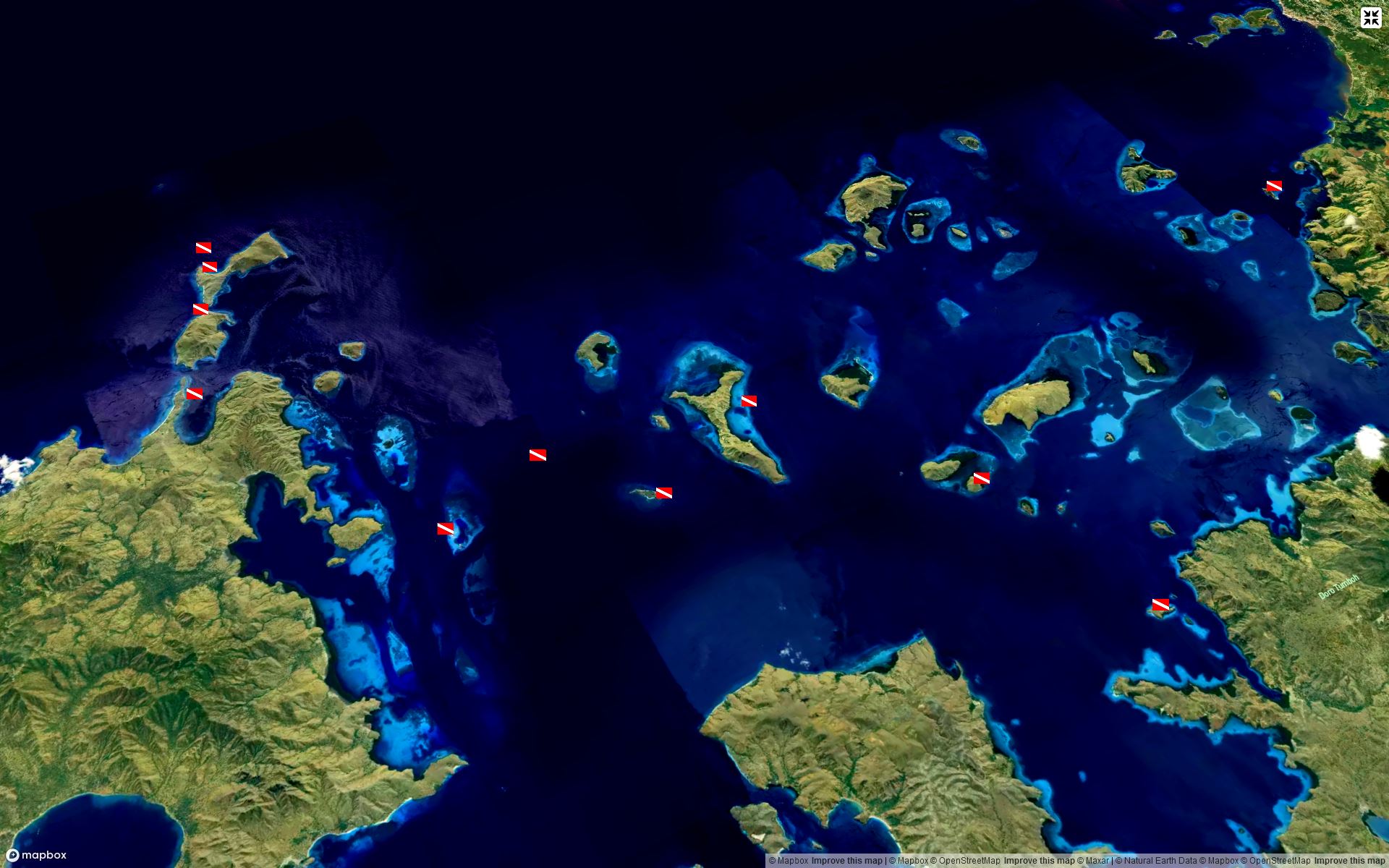
Data science for a better understanding of forest ecosystems and their sustainable management.
Using modern tools and technologies to integrate all kinds of spatial information for an in-depth analysis and striking visualizations, mainly in the field of forestry.
R-Statistics - GDAL - PDAL - QGIS - Mapbox-GL-JS - Maplibre-GL-JS - Git - ...
Soil Inventories - Forest Inventories - Custom References - Open Street Map - Orthoimages - Airborne Laser Scanning - Satellite Imagery - Sensor Data - UAV Data - Climate Models - ...


