https://mert-efe-geojson.netlify.app/
The app uses OpenStreetMap api to gather information in "osm" format, convert it to "GeoJSON" and properly display the dataset. (Web and Mobile Responsive). The app provides you use the features efficiently with given examples.
If you would like, it is possible to have a map in 3 different styles for you to test it in the top right. (Normal,Dark,Nasa). You are able to use the "Locate Me" feature to be able to show where you are. Besides you can search countries,cities, even streets to find wherever you want.
It was very fun from my side to build this app. I hope you will have fun as much as me while using the app.
In the project directory, First :
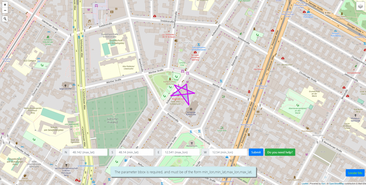
You need to give bbox values like North,South,East,West. "N" needs to be greater than "S" as well as" E" needs to be greater than "W". After given values, the map will fly to that destination. You can click over the map and get even more details. That's all. The rest of the information explained in the app clearly.
USED API => https://www.openstreetmap.org/api/0.6/map