Repository navigation
Home

Explore Sentinel-2 imagery for collaborative mapping in JOSM.
Installation · Try the walkthrough · Download
Orbilume helps OpenStreetMap contributors find recent available imagery, compare dates, and check a feature before drawing. It displays Copernicus Sentinel-2 imagery as a reference layer. Editing and uploading are done with JOSM's own tools under the mapper's control.
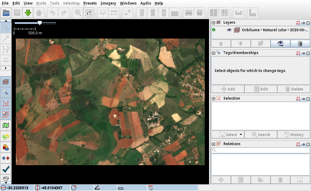
Contains modified Copernicus Sentinel data 2026, accessed through Earth Search (Element 84).
| I want to… | Go to |
|---|---|
| Install, verify, or update the plugin | Installation |
| Find a scene or choose a band combination | Imagery workflow |
| Compare two dates in a public sample area | Vienna walkthrough |
| Fix an empty search or blank layer | Troubleshooting |
| Read the original terms or see what the plugin sends | Sources, licenses, and privacy |
| Report a bug or suggest an improvement | GitHub issues |