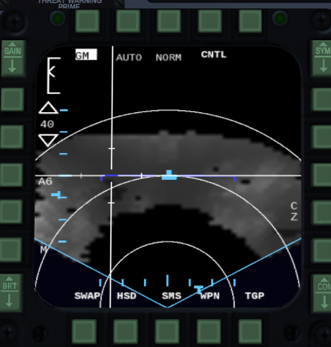
Radar GM Mode
First thing to know is where to point your radar antennae. If you do not tilt it (tilt = 0) and you have a steerpoint selected, then it will focus on that steerpoint. If you tilt it, you might not see anything on the display, or the display appears frozen, this is most likely because you need to increase or decrease the range, or the tilt is so high that there is no terrain.
Know that it will scan about 2.25 degrees above and below the tilt you select, and the tilt is in relation to the horizon.
The cursor has two settings in ground radar modes. AUTO and MAN. AUTO will automatically change range when you move it to top of display and again if moved into the lower 40% of the display. MAN will not cause cursor to change range.
GAIN rocker switch on the MFD mount can be used to adjust how terrain is color mapped onto the display. The setting will show in the display in upper-left corner (gain gauge).
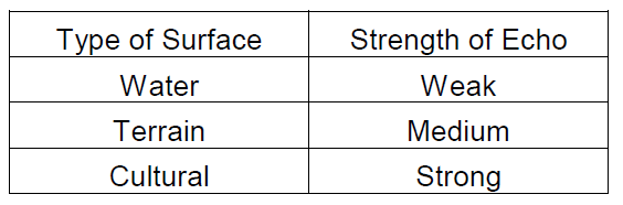
When you look at the radar picture you can see various features. High radar returns will be brighter and low returns will be darker. Also higher terrain elevation tend to be brighter. Here you can see some rough idea of how much return you get from ground:
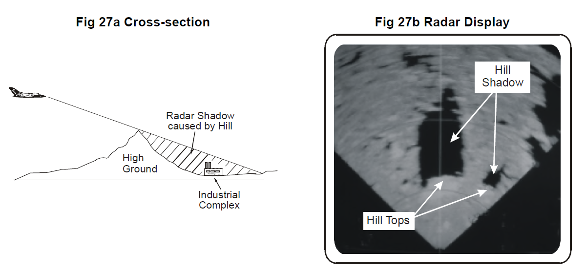
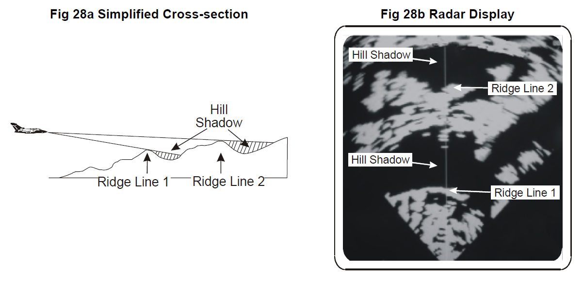
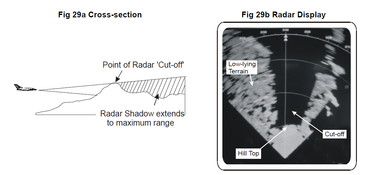
But black area does not only mean water, it can also be something shadowed. Here are some examples of how shadowing works and how it looks: