Repository navigation
Home
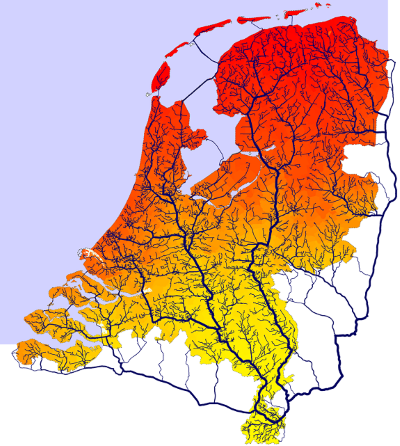
Accessibility in spatial applications is the quality of being easy to reach (a) destination location(s). It is an important driving factor in Land Use Modelling, but relevant relevant for many other applications.
Accessibility is usually analysed using graphs.
The GeoDMS contains network functions to build a network topology, that can be used in e.g. a dijkstra function to calculate the shortest path or impedances in an origin/destination matrix (trip table).
Much attention has been given to make network calculations fast and efficient, this allows users to calculate impedances in large networks in limited time.
- Accessibility measures are calculated and used as driving factors for Land Use Modelling
- Origin destination matrix (trip table) for many applications
- In our projects in the social domain, distances from houses to services are calculated. These distances are important suitability factors for housing for persons with mobility issues.

Concepts
Networks
- Network data sources
- OSM
- NWB
- GTFS
- Building a routable network
- Network optimisation algorithm
- Travel speeds per mode
Origins & destinations
Computation
- Shortest path and the Dijkstra algorithm
- Origin Destination matrix (trip table)
- Isochrones and catchment areas
- Public transport routing
Indicators
Applications
Network models
Reference