Repository navigation
Home
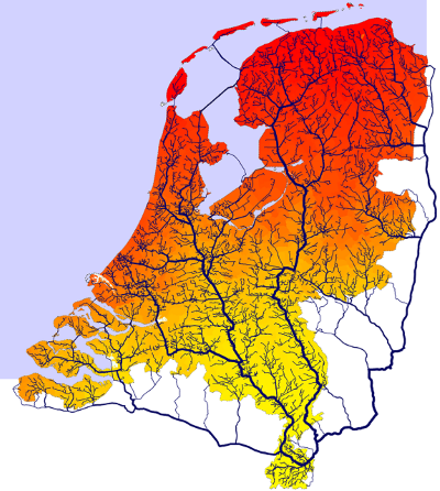
Accessibility is the ease with which relevant destinations can be reached from a given location. It is a driving factor in Land Use Modelling, a policy indicator in its own right, and an input to a wide range of social, economic and environmental analyses.
This wiki is a method reference: it describes how accessibility is modelled — the concepts, the modelling choices, the indicators and the pitfalls — independently of any single project.
| Question | Where to look |
|---|---|
| Which accessibility indicator fits my research question, and what do I need to compute it? | This wiki |
| Which projects has Object Vision done on accessibility? | objectvision.nl — Accessibility |
| How exactly was the Dutch national network model built, with which data? | Network model documentation (PBL) |
| Which GeoDMS operator or function do I use, and what is its syntax? | GeoDMS wiki |
Examples in this wiki use the GeoDMS where a concrete implementation helps, but the methods themselves are software-independent.
- Accessibility — what accessibility is, its four components and four measurement perspectives
- Travel impedance — cost, time and distance as the input to every accessibility measure
- Euclidean versus network distance — why "as the crow flies" is rarely good enough
- Network data sources — choosing between OSM, NWB, GTFS and other sources
- Building a routable network — from geometry to a connected, directed graph
- Network optimisation algorithm — reducing a network without changing its routing behaviour
- Travel speeds per mode — car, bicycle, pedestrian and public transport
- Zoning and spatial units — points, zones, grids, and the errors each introduces
- Connecting origins and destinations to the network — connectors, snapping and access time
- Shortest path and the Dijkstra algorithm — the routing core
- Origin Destination matrix (trip table) — many origins to many destinations
- Isochrones and catchment areas — reachable areas and service areas
- Public transport routing — timetables as time-expanded graphs
- Accessibility indicators — the indicator families side by side, and when to use which
- Distance decay functions — translating impedance into travel potential
- Spatial Interaction Models — the theory behind gravity and doubly-constrained models
- Network centrality — centrality from random walker distributions
- Applications — projects and published indicators
- PC4 travel time matrix for Nederland van Boven (in Dutch) — downloadable dataset
Pages marked (outline) state their intended scope but have not been written out yet. Contributions and corrections are welcome — this wiki is maintained by Object Vision BV.

Concepts
Networks
- Network data sources
- OSM
- NWB
- GTFS
- Building a routable network
- Network optimisation algorithm
- Travel speeds per mode
Origins & destinations
Computation
- Shortest path and the Dijkstra algorithm
- Origin Destination matrix (trip table)
- Isochrones and catchment areas
- Public transport routing
Indicators
Applications
Network models
Reference