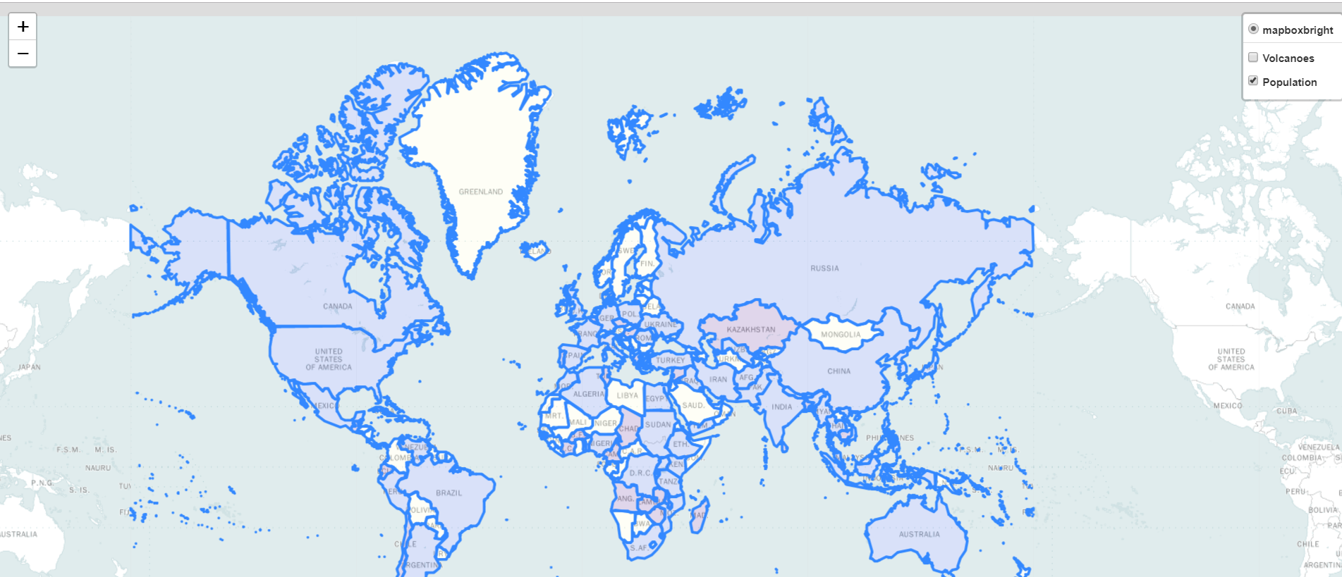
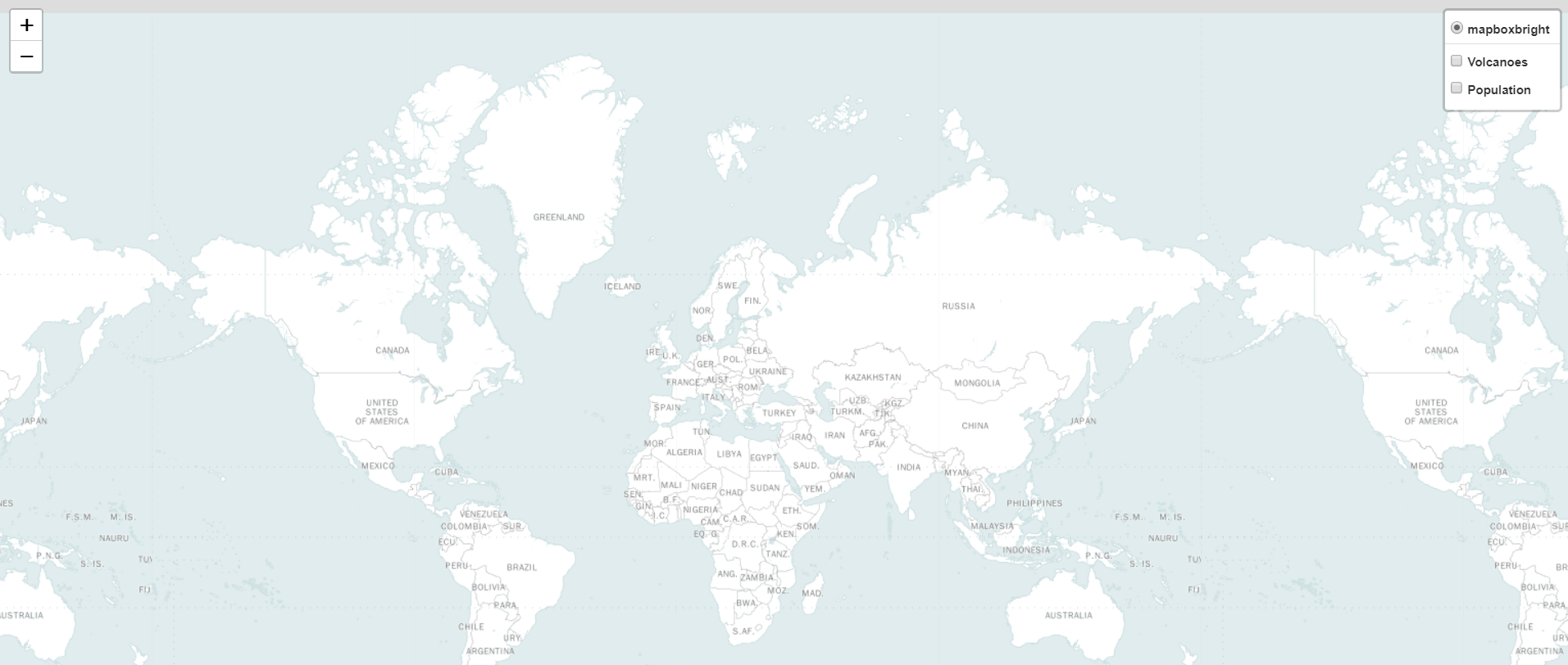
This webmap is created with Python using folium. This map indicates the volcanoes in USA. The volcanoes are marked with circle marker. The volcanoes with a height 1500m are marked dark gray, then 1500m to 3000m volcanoes are marked as yellow and over 3000m volcanoes are marked as brown. User can see the population of a area using this map as well. If one country has people of not more than 10m then those areas ar will be highlighted as yellow color if the population in between 10m to 20m it will be highlighted as purple and if those are not the case and population is over 20m then the area will be highlighted as blue color. These are not the only features there is more. there is a toggle option upper left of the map, one can switch between Volcanoes and Population there. They can see only volcanoes in the map or the population, they can also swich both them off or on. But the initial one all the layers of the map will be switched on.