#123
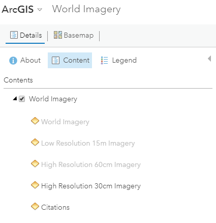
Hi @jerryfaust i have successfully loaded ESRI base maps into mapwingis map but the problem is in resolutions of the base maps in zoom, While in arc-map we have observed that based on the zoom they are using different types of World Imagery services(Please find the attached snapshot). So they are getting high resolution images on map.
URL used;- http://services.arcgisonline.com/ArcGIS/rest/services/World_Imagery/MapServer/tile/{zoom}/{y}/{x}.png
So how can we use the Low Resolution 15m Imagery , High Resolution 60m Imagery, High Resolution 30m Imagery on our mapwingis.
Please find the attached images for clear information.
Arc Map Layers
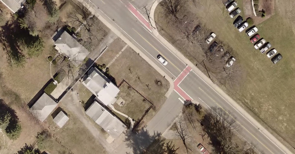
ArcMap Image Clarity
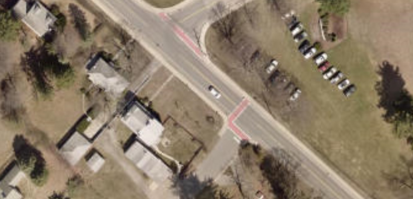
MapWinGis Image Clarity

#123
Hi @jerryfaust i have successfully loaded ESRI base maps into mapwingis map but the problem is in resolutions of the base maps in zoom, While in arc-map we have observed that based on the zoom they are using different types of World Imagery services(Please find the attached snapshot). So they are getting high resolution images on map.
URL used;- http://services.arcgisonline.com/ArcGIS/rest/services/World_Imagery/MapServer/tile/{zoom}/{y}/{x}.png
So how can we use the Low Resolution 15m Imagery , High Resolution 60m Imagery, High Resolution 30m Imagery on our mapwingis.
Please find the attached images for clear information.
Arc Map Layers
ArcMap Image Clarity
MapWinGis Image Clarity
