A realtime transit route monitoring application built with modern Angular (v19) which visualizes planned routes, realtime vehicle positions, and trip origins using data from the OpenTripPlanner GraphQL API.
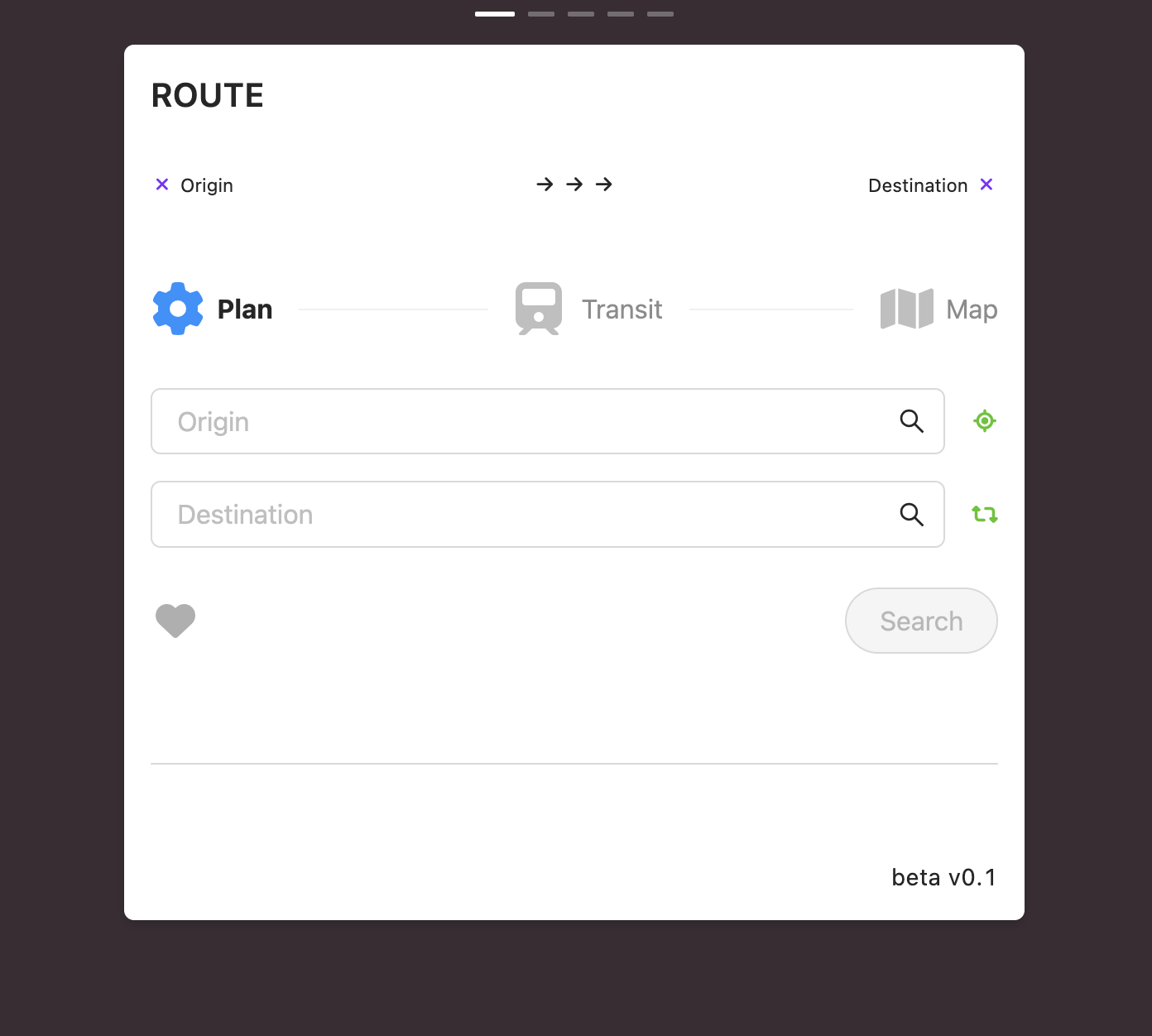
- Plan public transit routes between any two stops, with multiple alternative options based on user-configured search depth
- Save, reorder, and remove favorite routes for quick access
- View trip summaries, including estimated travel time and required transfers
- Select a route option to access full itinerary details and the interactive map
- Inspect each transit leg:
- vehicle type
- real-time departure status
- scheduled vs. actual times
- current vehicle position and heading
- accessibility details
- service alerts
- Interactive map view showing:
- full journey path
- all stops involved
- transfer points
- realtime vehicle positions
- User settings (dark/light theme)
- Documentation, legend, known issues
- Angular 19
- TypeScript
- RxJS
- Leaflet
- TailwindCSS
- SCSS
- Ant Design
- Luxon
- OpenTripPlanner (OTP) GraphQL API
- Node.js + Express proxy server
npm install
npx ng serve
node proxy.js
(The proxy server is required for API communication.)
- Improve mobile layout and responsiveness
- Add multi-language support
- Minor style refinements
- Update font-family
- Fix route-planning anomalies around midnight
- Add more contextual info messages
- Create a full user manual
- Speed up API requests
- Swipe implementation
This project is licensed under the GNU General Public License v3.0.
Please note that all source code and content is subject to the terms of this license.