Large polygon gets clipped at some zoom levels #7663
Description
Hi
I am having issues drawing a polygon from geojson. At some zoom levels the polygon gets clipped (presumably along tile boundaries) for example:
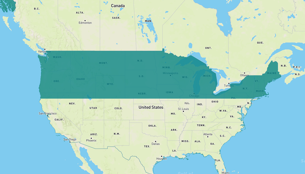
Here is a code example of this, super simplified.
https://gist.github.com/gingemonster/3e7944825d2ae6588066d49136ff1ee1
Obviously the JSON is large and should be optimised but equally this seems to be a bug?