1.9.3b - Atlantis II

·
48 commits
to master
since this release
Patch Notes. 1.9.3b (Atlantis II).
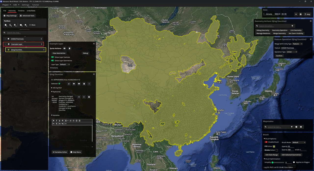
1.9.3b development screenshot; union over CHGIS counties (1911).
[Download (Windows)] | [Download (MacOS/Linux)]
(5 July 2026). 12:16GMT. Stable Release.
Ergonomic update addressing jank during editing sessions, with several other bugfixes and QOL improvements.
- Bugfix: +/- no longer displays if both features and geometries are turned off for showing.
- Bugfix: parent and entities fields should no longer fall out of sync in the Hierarchy.
- Ctrl + Click is now sticky when adding/removing a polygon by default.
- Added Settings toggle to change this behaviour.
- Features are now shown by default in layers.
- Forse should support raster processing for the following files via Geospatiale (scripting only):
- GeoASC (.asc), GeoNC (.nc), GeoPNG (.png), GeoTIFF (.tif).
- Rasterisation/Vectorisation (PNG <-> GeoJSON) is also supported.
- Layers and groups can now be deselected.
- Fill bucket/Province Layer behaviour has been changed to no longer use shatter, and to allow for adjustments to province borders overtime.
- Province layers are now more transparent, and feature dashed lines.
- Province layers shouldn't be factored in when hidden, toggleable in settings.
- Imports are now multifile.
- Imports can now have custom mathematical transformations applied to them if necessary (Lat/Lng).
- Toggles to switch between Obsidian Publish and Confoederatio-hosted Wiki.js services for documentation.