CRNS Theory
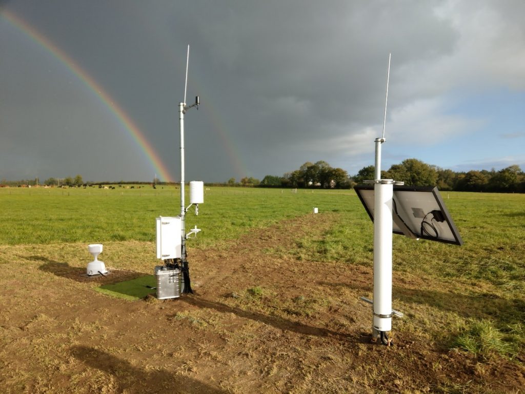
CRNS in Tullamore, Ireland (Met Éireann)
Cosmic-Ray Neutron Sensing (CRNS) is a relatively recent technique for soil moisture estimation, taking area averaged measurements at an unprecedented sub-kilometre scale. The technology is one of the most promising in field-scale soil moisture estimation, as it is non-invasive, can measure up to half a metre in depth and is shown to have excellent data acquisition reliability in areas of low to medium biomass. The sensors utilize variations in near-surface neutron intensity to detect changes in the hydrologic variable of interest (most commonly SM or snow water equivalent).
As CRNS estimate soil mositure and snowpack at a sub-kilometre scale they are ideal instruments for a range of hydrological and agricultural applications. This includes:
- Weather & Climate models
- Natural Hazard estimation (floods, droughts, landslides, wildfires ...)
- Water & Carbon Cycles (both local and global)
- Climate Change models (particularly desertification)
- Irrigation management
- Crop Yield forecasting
- Fertilizer & nutrient control
The CRNS was founded on the theory that hydrogen atoms are effective at slowing down epithermal-fast neutrons due to their small size and mass. Originating from cosmic rays, these epithermal-fast neutrons have a strong dependency on hydrogen compared to other types of neutrons, whose behaviour is affected more by other elements. With hydrogen present in water molecules, an inverse relationship between epithermal-fast neutrons and soil moisture was found. The opportunity to build an instrument sensitive to epithermal-fast neutron intensity was then created, leading to the development of the CRNS.

An artist rendering shows particles entering the atmosphere where they spark air showers that can spread for miles (NASA)
To convert from the neutron intensity measurements taken by the CRNS (known as "neutron counts") to volumetric soil moisture values there are 3 key stages. These are shown below alongisde a brief summary of each step. For a more detailed understanding of each of these stages, click on the respective wiki links.
- Data Correction - Involves accounting for and removing unwanted sources of hydrogen in the sensor's footprint to improves its accuracy.
- Site Calibration - Where samples are taken around the CRNS to adapt it to site-specific soil properties.
- Final Conversion - Compiling the previous steps alongside other relevant parameters to form a processing equation.
Considering the associated complexity of each of these steps, coupled with the hourly temporal resolution of the CRNS, computational power is needed to automate the data processing. Data processing tools are therefore an important component of CRNS and are a key governer of the technologies ease of use and accessibility. Crspy-lite aims to capitalise on these potential benefits, providing the community with a Python tool that doesn't require theoretical or computing expertise to use.