KML
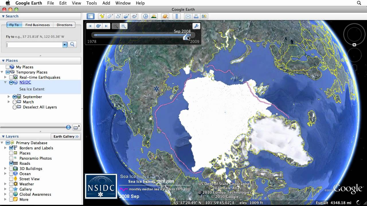
Keyhole Markup Language is a file format used to display geographic data in an Earth browser such as Google Earth.
KML uses a tag-based structure with nested elements and attributes.
- What does KMZ stands for?
KMZ is a file extension for a placemark file used by Google Earth. KMZ stands for Keyhole Markup language Zipped. It is a compressed version of a KML (Keyhole Markup Language) file. Keyhole was the founding company of the Earth Viewer software that Google Earth was built upon.
In our task, We implements the interface KML_Logger. It allows us to import the graph, the robots and the fruits to KML file.
if you want to know more information about it, please click the link below:
Two important features are:
-
TimeSpan To display polygons and image overlays that transition instantly from one to the next, you can specify the beginning and ending of a time period using the TimeSpan object.
-
TimeStamp: TimeStamp is typically associated with a Point Placemark. Displaying the Placemark icon briefly at each position along a path has the effect of animating the Placemark. This technique is especially useful in creating KML displays of data imported from a GPS tracking device.