Repository navigation
Home
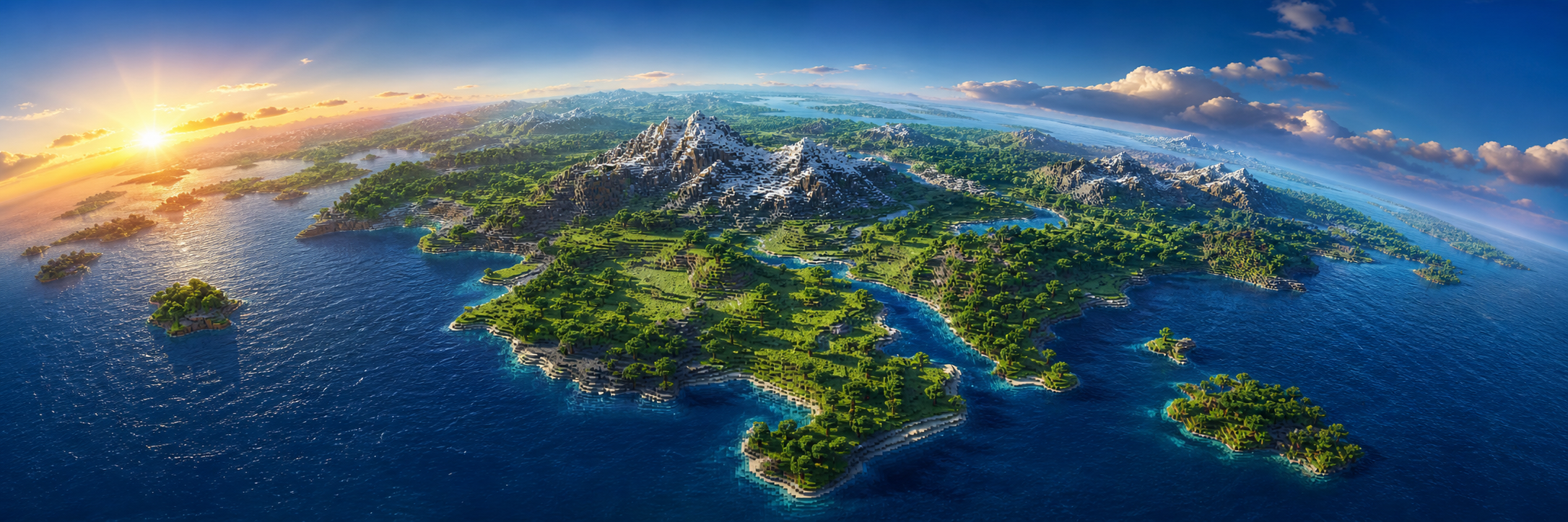
Real Earth terrain generation for Paper — natural geography in, player-built history out.
REAL EARTH DATA → TerraForge CLI → natural Minecraft terrain → players build → Towny governs → BlueMap displays
0.1.x preview software. Test on a new world and keep backups. Changes to projection, scale or terrain settings between versions can create permanent seams between old and new chunks — read the changelog before upgrading.
Welcome to the TerraForge wiki — the player- and operator-facing documentation for the plugin. If you are looking for API references and contribution rules instead, see the developer docs in the repository.
New to TerraForge? Follow these in order:
- Installation — get the plugin and CLI running, prepare a test region, create the world.
- Data Sources — which datasets to download and how they map onto the world.
-
Configuration — every
terraforge.ymloption explained. -
Commands — the full
/earthcommand reference.
| Page | What it covers |
|---|---|
| Installation | Requirements, first start, data preparation, world creation |
| Configuration | Every terraforge.yml key, defaults and meaning |
| Data Sources | Choosing DEM, land-cover, boundary and gazetteer datasets |
| DEM Pipeline | Preparing elevation data and the .tfdem format |
| Projections and Scale | Projections, world size, origin, vertical scale |
| Commands | Full /earth command and permission reference |
| Towny Integration | Real-world geography on Towny towns |
| BlueMap Integration | City, country and region markers on the web map |
| Pregeneration | Generating chunks ahead of players safely |
| Performance | Budgets, caching, benchmarks and profiling |
| Troubleshooting | Fixes for the most common problems |
| FAQ | Short answers to the questions that come up most |
TerraForge turns prepared real-world elevation, coastlines, water and land-cover data into deterministic Minecraft terrain.
| ✅ Generated from real data | ❌ Never generated |
|---|---|
| Continents, coastlines and islands | Roads, highways and streets |
| Ocean depth, lakes and natural rivers | Buildings, villages and structures |
| Mountains, valleys, plains and deserts | Railways, bridges and airports |
| Biomes from real land cover | Power lines or industrial areas |
generation.natural-only: true is the default and cannot be turned off. There is no code path in
TerraForge that places a man-made structure.
- Read Troubleshooting and the FAQ first.
- Ask a question in Discussions.
- Found a reproducible bug? Open an issue.
- Security vulnerability? Use the private process in SECURITY.md — never a public issue.